Local governments are on the front lines when it comes to the effects of climate change. Urban heat, drought, and flooding: impervious parking lots—often managed by private entities on municipal land—directly contribute to the worsening of these phenomena. The good news is that local governments now have a range of regulatory, financial, and technical tools at their disposal to accelerate the greening of these areas.
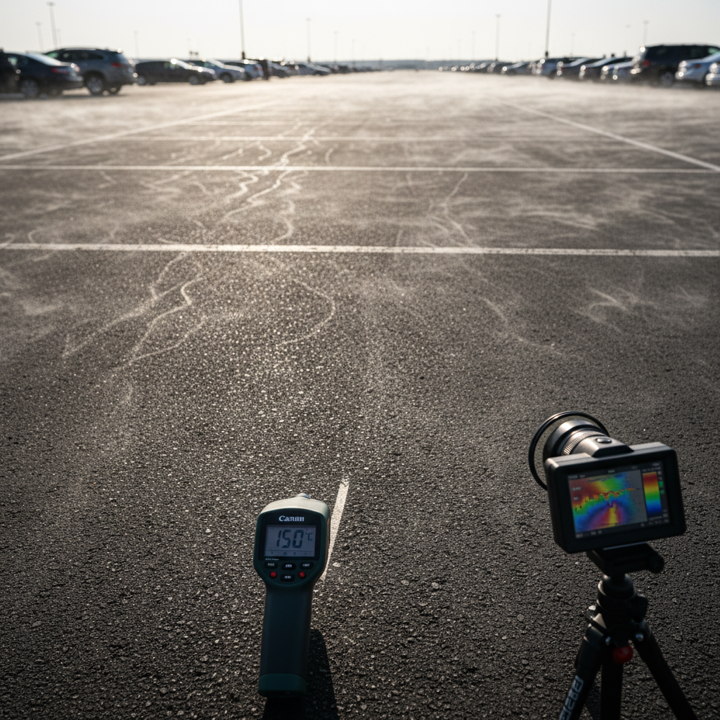
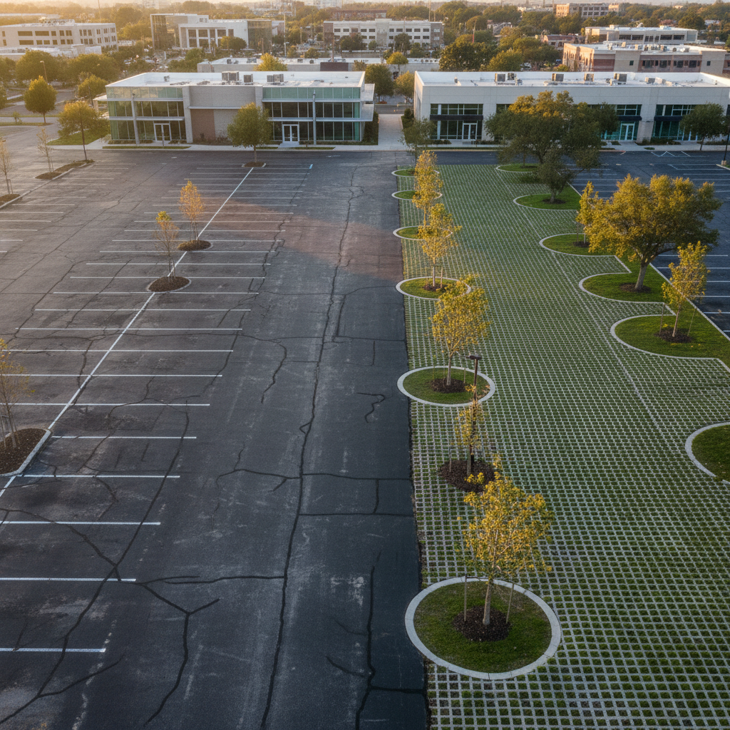
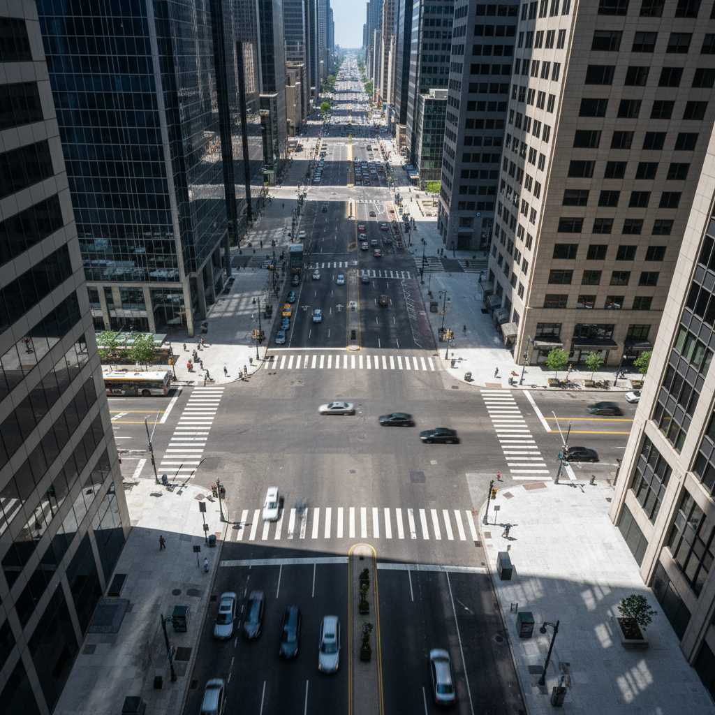
One hectare of paved parking lot in direct sunlight acts like a radiator. It absorbs solar heat during the day and releases it at night, disrupting the natural cooling of the urban environment. This effect directly contributes to urban heat islands (UHIs), a phenomenon that increases mortality during heat waves and raises energy consumption.
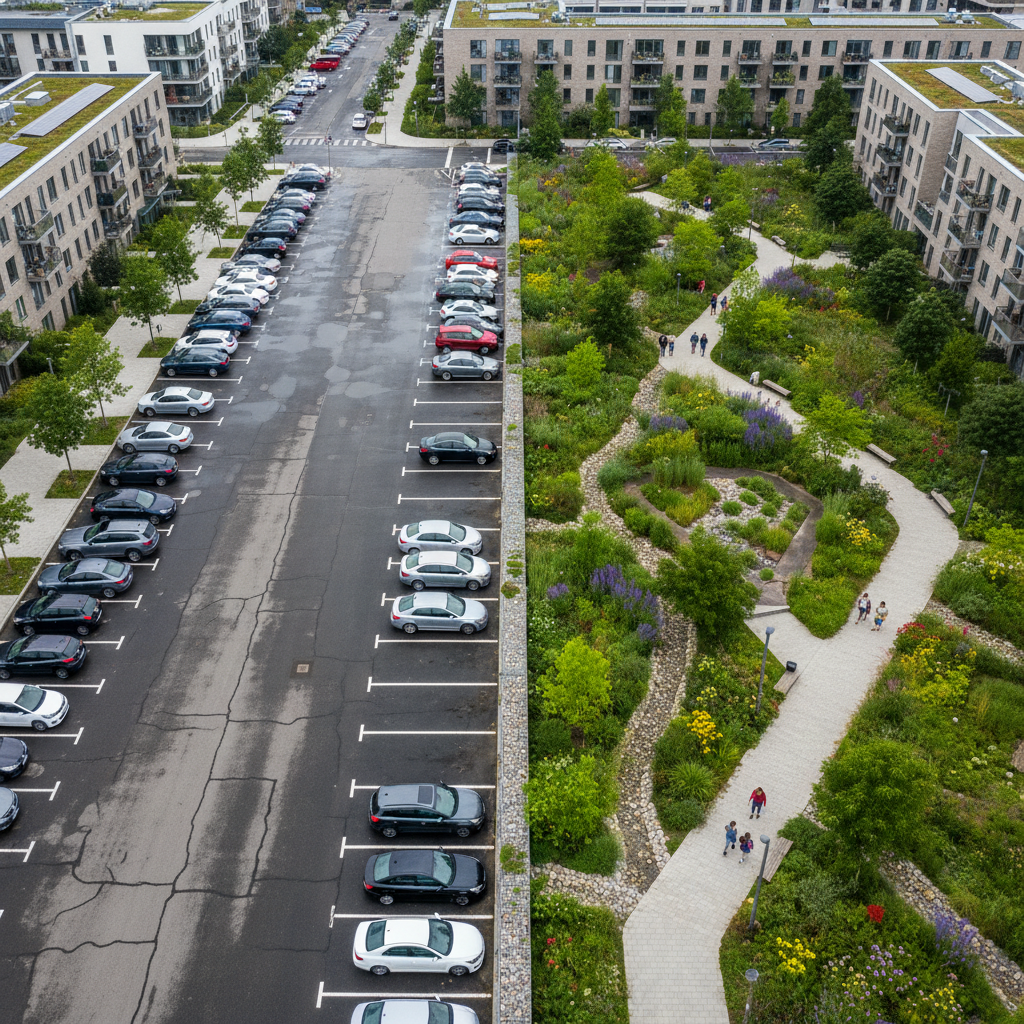
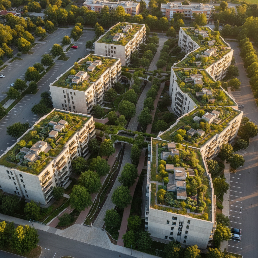
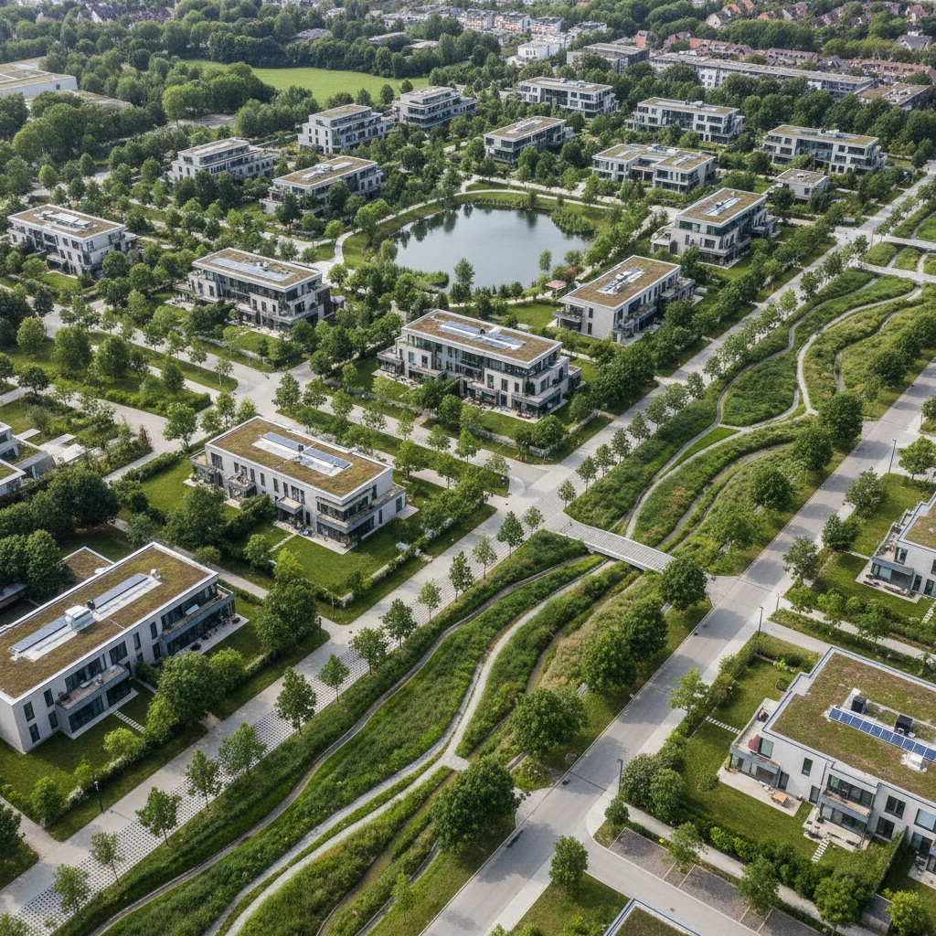
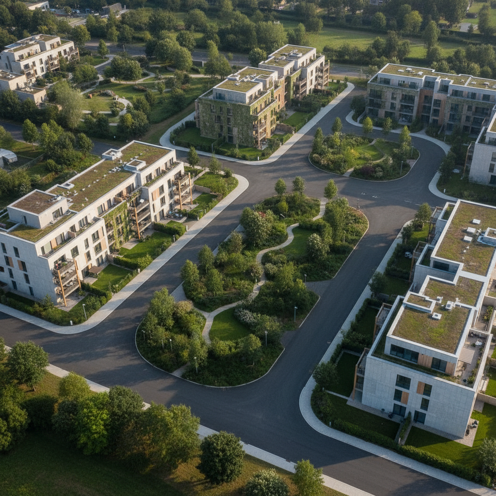
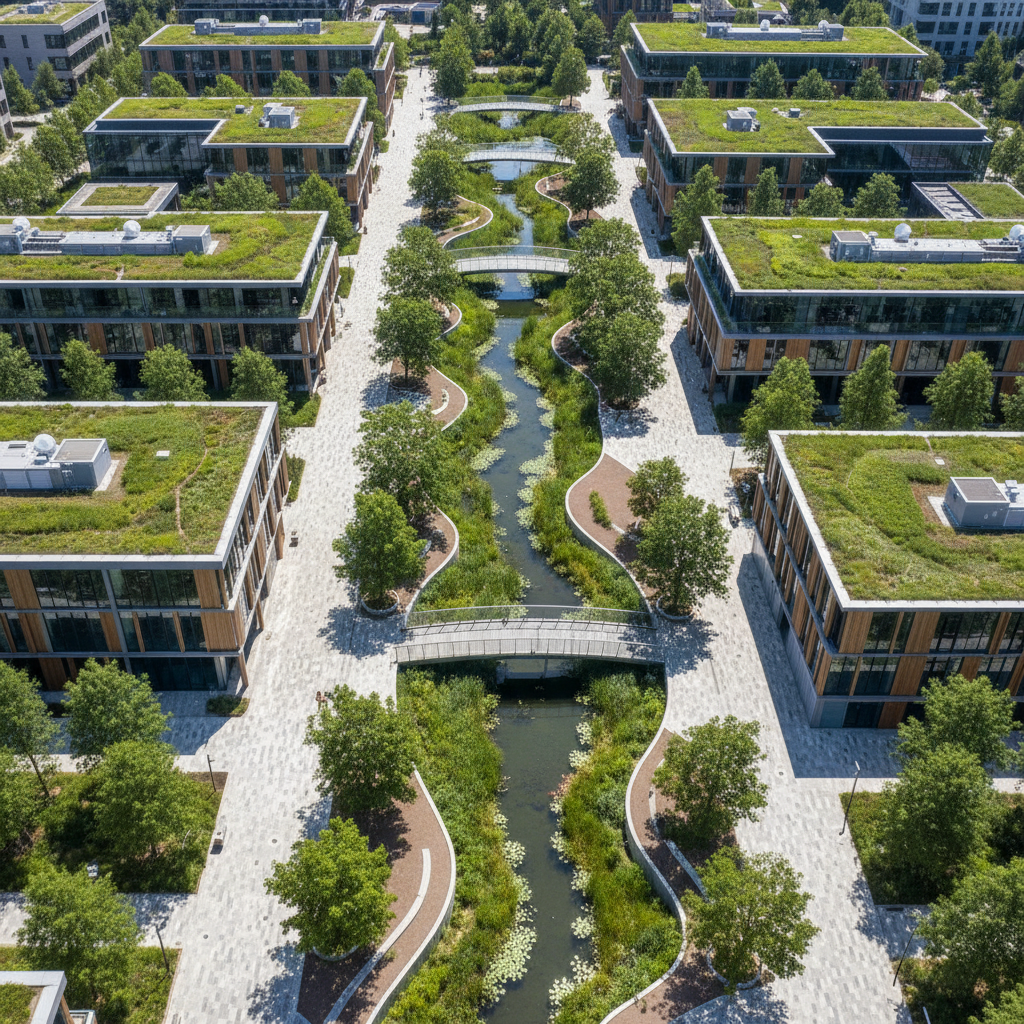
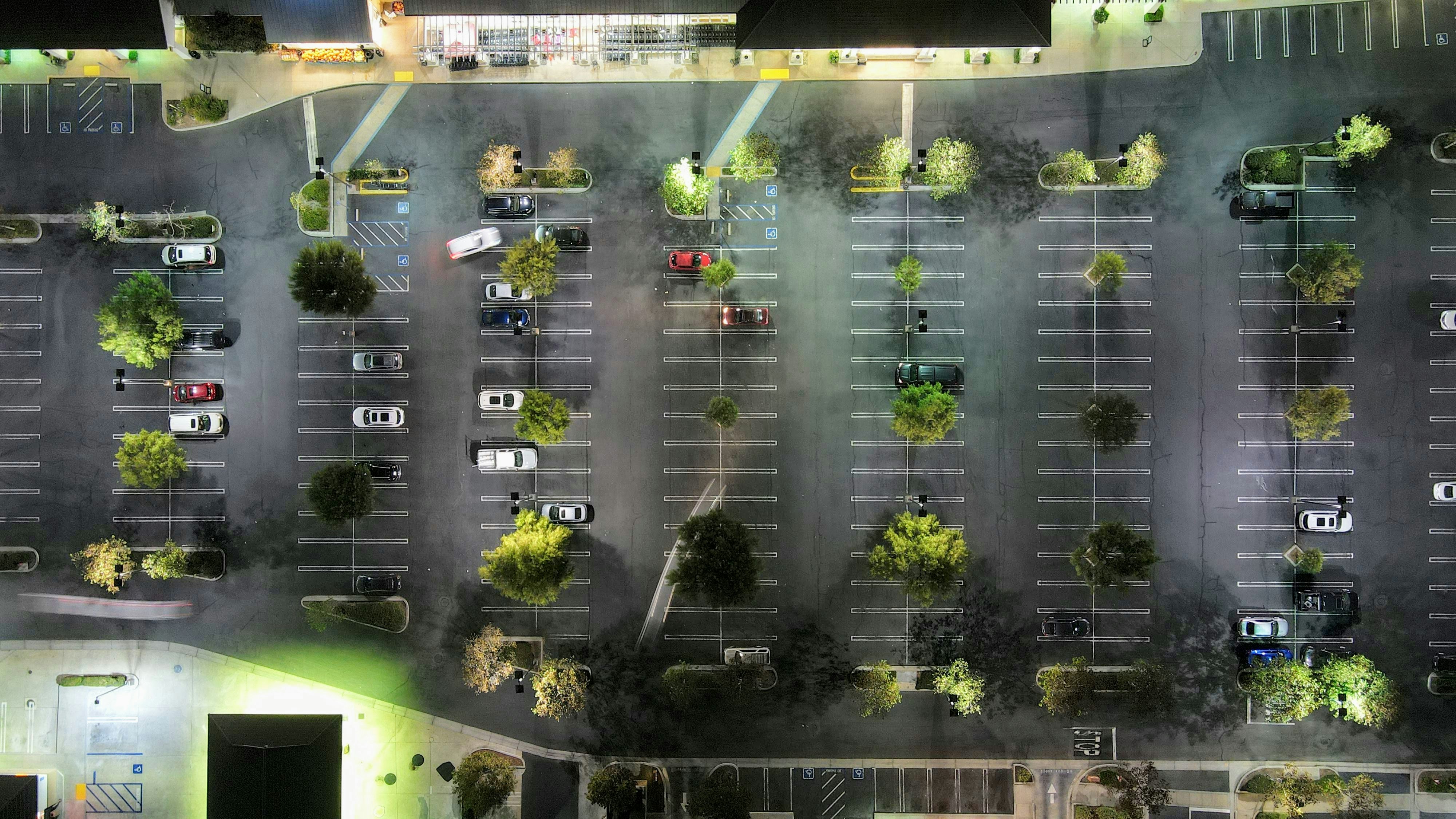
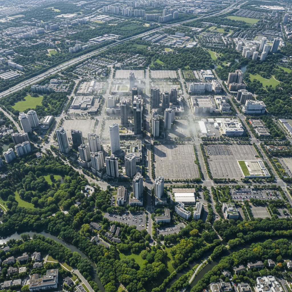
At the municipal level, parking lots can cover dozens of hectares of impervious ground. Reducing this impact, even partially, has measurable effects on the urban heat island effect, biodiversity, and the water cycle.
The Local Urban Development Plan (PLU or PLUi) is the most powerful regulatory tool available to local governments for guiding the greening of parking lots. Several measures are available:
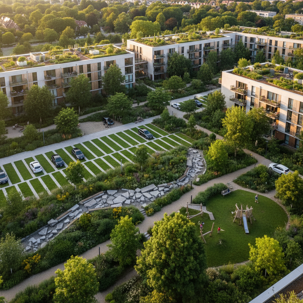
Some major cities (Paris, Lyon, Bordeaux, etc.) have incorporated a minimum green coverage standard into their zoning regulations, requiring all project developers to meet a minimum ratio of green space to total area. Green parking lots, green roofs, and swales are factored into this calculation.
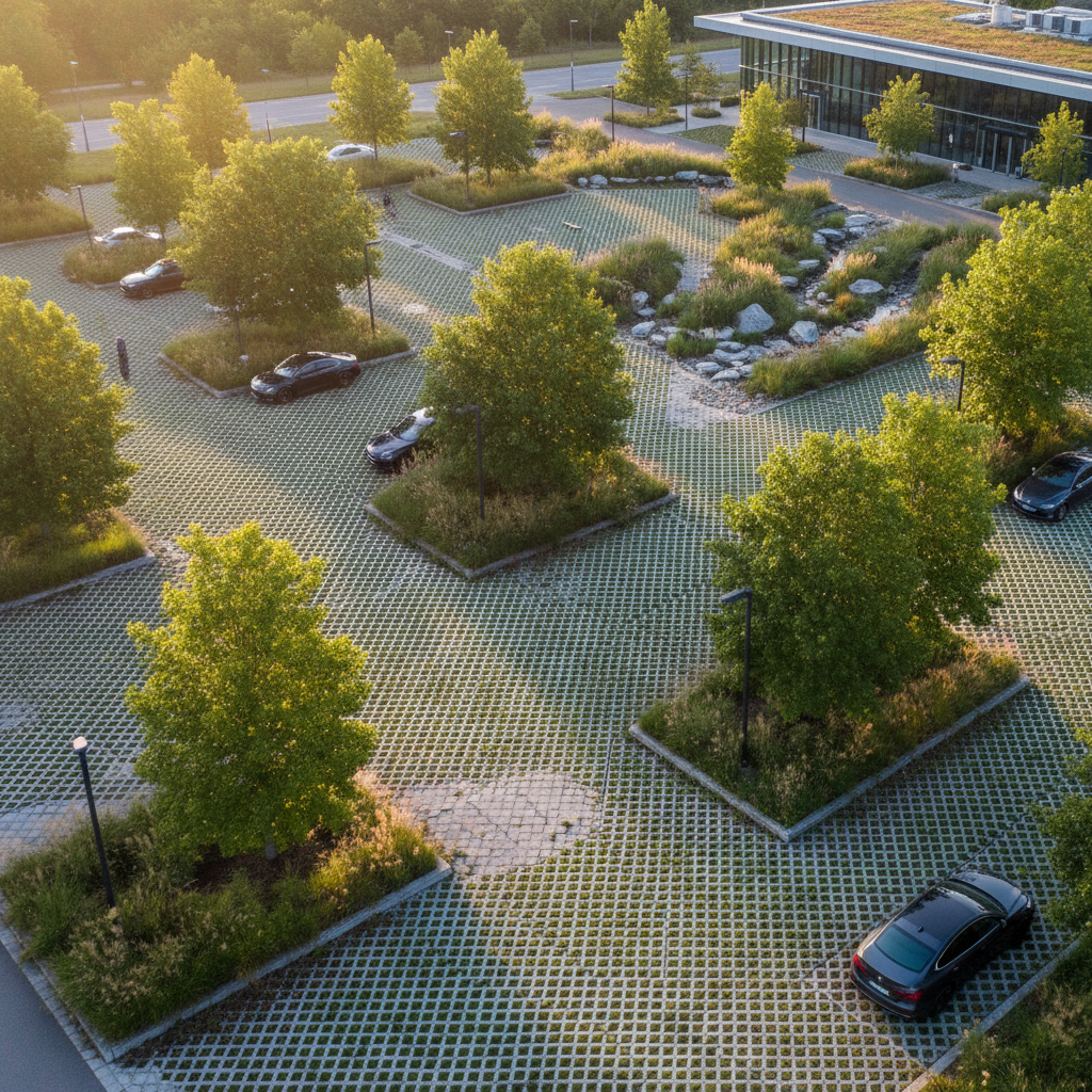
Commercial zoning regulations may require one tree for every x parking spaces. This rule, already in place in many local urban planning regulations, is one of the simplest ways to ensure a minimum canopy cover.
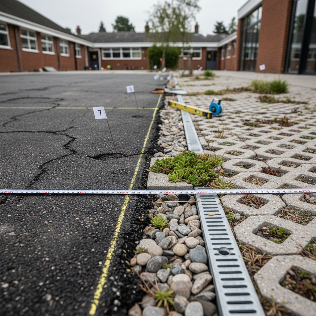
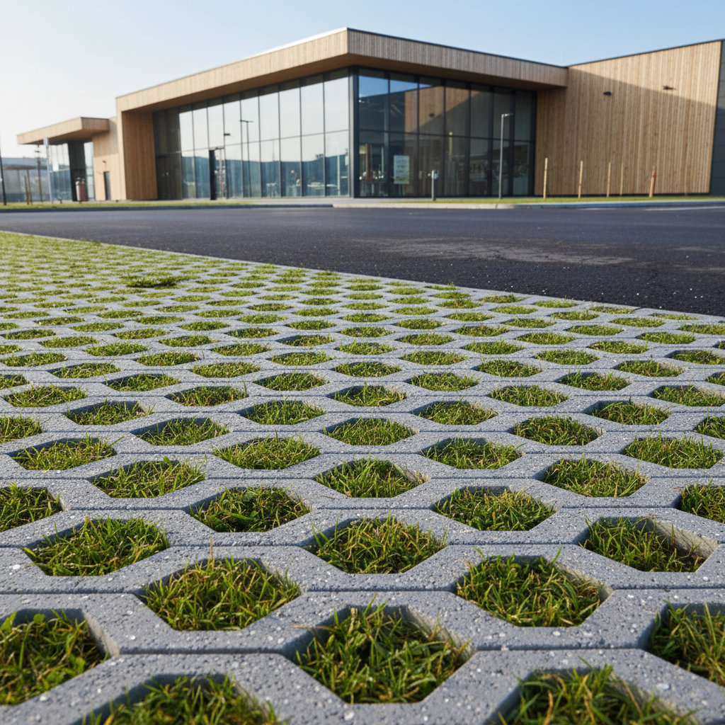
The Local Urban Planning Regulation (PLU) may require permeable paving for parking areas exceeding a certain size. This rule applies to new construction but may also be applied during major renovations.
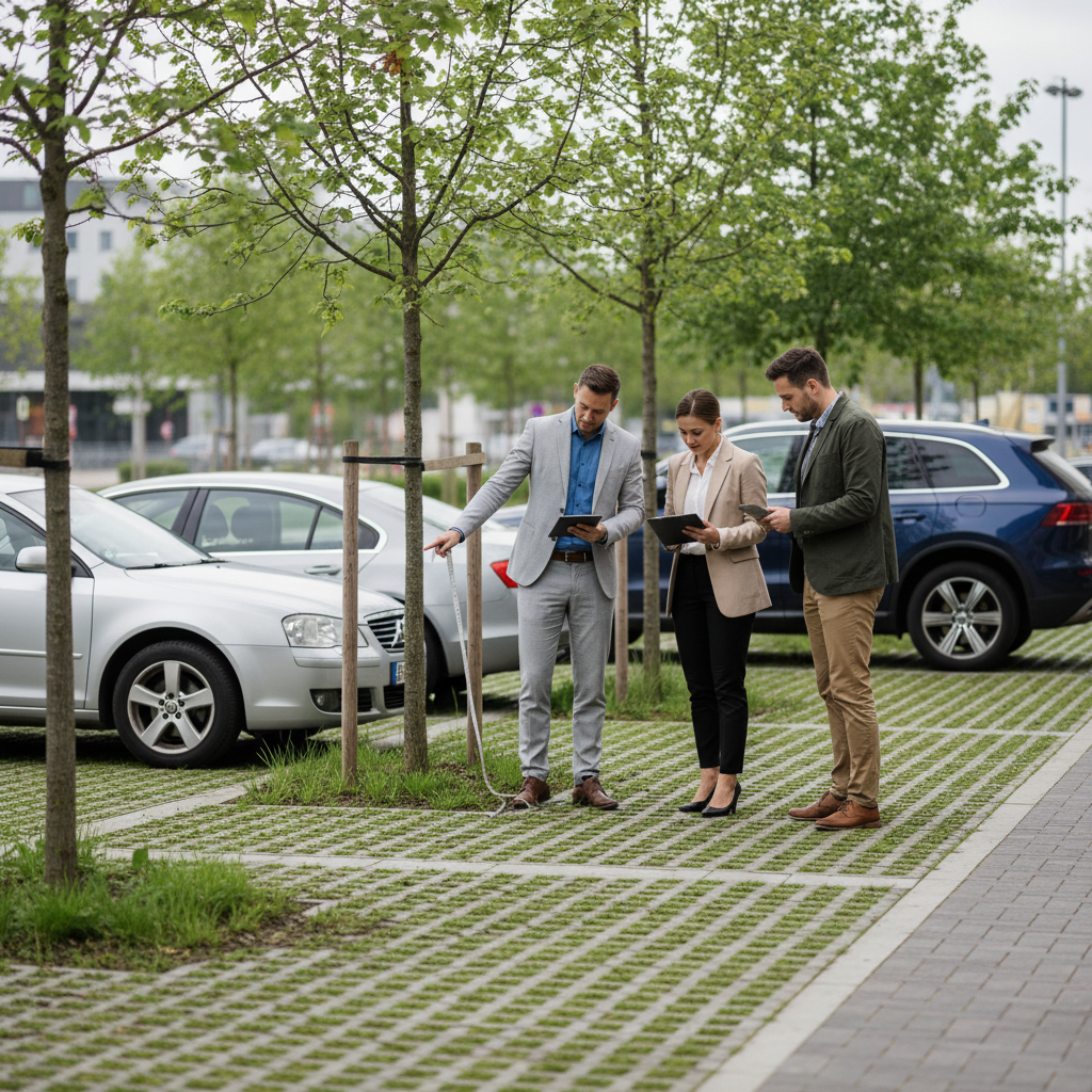
When reviewing a building permit application for a large retail facility, the local government may make its approval contingent on measurable commitments to greening initiatives.
A community that wants to take effective action must first know where to focus its efforts. Which parking lots contribute the most to stormwater runoff? Which areas have the greatest potential for greening?
Tools like Netcarbon use aerial imagery to map the entire region:
This mapping serves as a decision-making tool to incorporate greening initiatives for parking lots into the PCAET and to document the actions taken with the French government and the European Union.
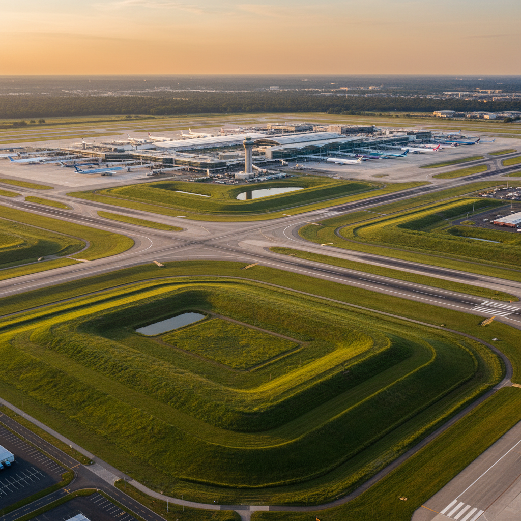
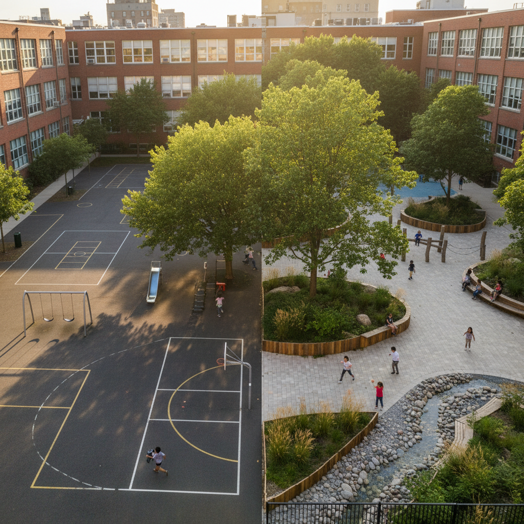
In Nantes, the restoration of the Nantes Atlantique Airport parking lot (29 ha)—combining vegetation and photovoltaic shade structures—has resulted in the following projected outcomes over 25 years: a 6.3°C reduction in surface temperature, 784.8 metric tons of CO2 sequestered, and 4.4 ha of land returned to natural vegetation. These results demonstrate what is possible on the scale of a large parking lot and provide benchmarks applicable to any region.
Local governments have regulatory, financial, and technical tools at their disposal to accelerate the greening of parking lots within their jurisdictions. The key is to shift from a prescriptive approach to a data-driven one: setting quantifiable targets, documenting results, and incorporating this data into planning documents. In the context of zero-net-emission goals and rising urban heat, green parking lots are no longer just an environmental “bonus”—they are becoming an indicator of regional resilience.
Are you a climate or urban planning specialist for a local government? Request a heat map of your area from Netcarbon to identify your priority parking lots.

.png)
.png)
.png)
.png)