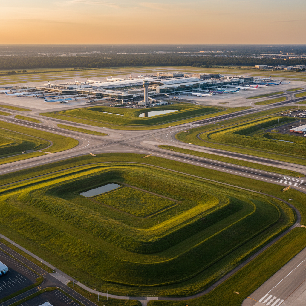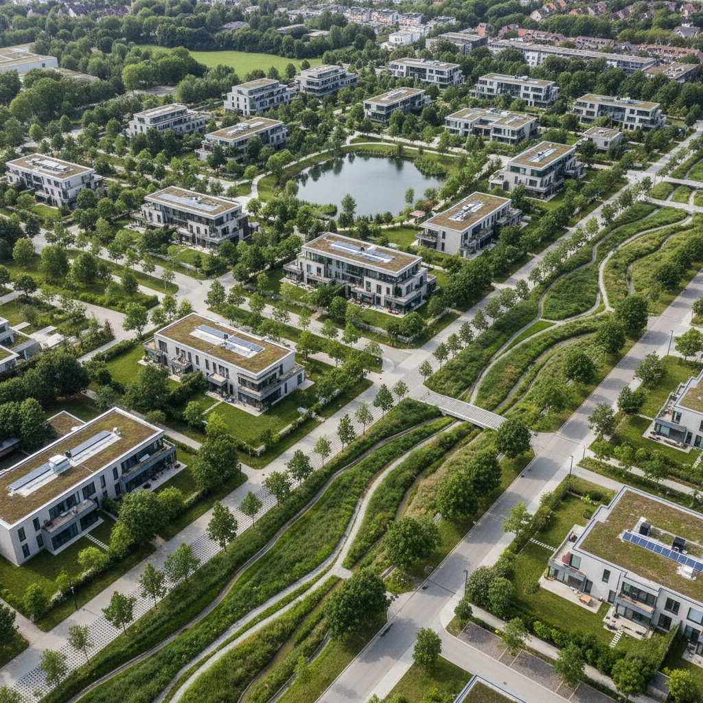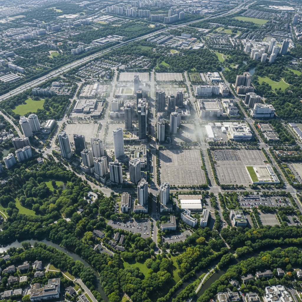
Against a backdrop of growing land scarcity and regulatory constraints related to the Zero Land Take (ZAN) policy, urban and industrial brownfields are undergoing a transformation. Long regarded as worthless wastelands, they are now recognized as a major strategic asset for local communities. They can accommodate new uses—housing, economic activities, and public spaces—while avoiding the consumption of natural or agricultural land.
But for the redevelopment of brownfields to become a genuine driver of environmental progress—and not just a real estate opportunity—we need to be able to assess its ecological potential.
The Climate and Resilience Act identifies the redevelopment of brownfields as one of the explicit drivers of the ZAN pathway. Building on a brownfield site means avoiding the use of natural space. Better yet, restoring a brownfield site results in net de-separation, creating a positive balance in a region’s land-use balance sheet.
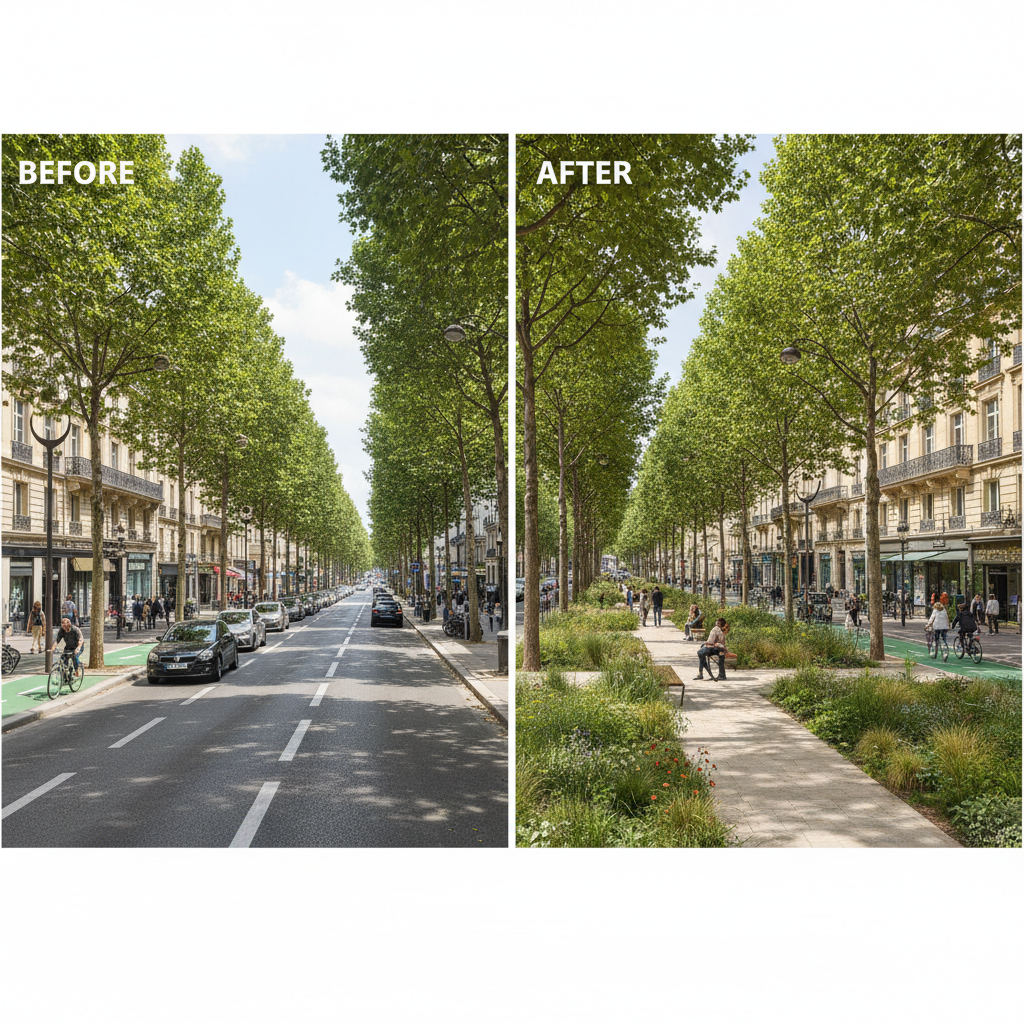
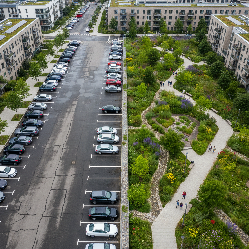
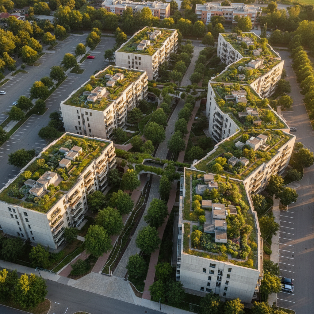
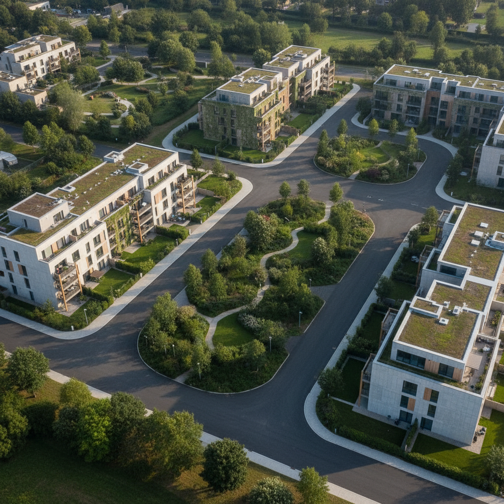
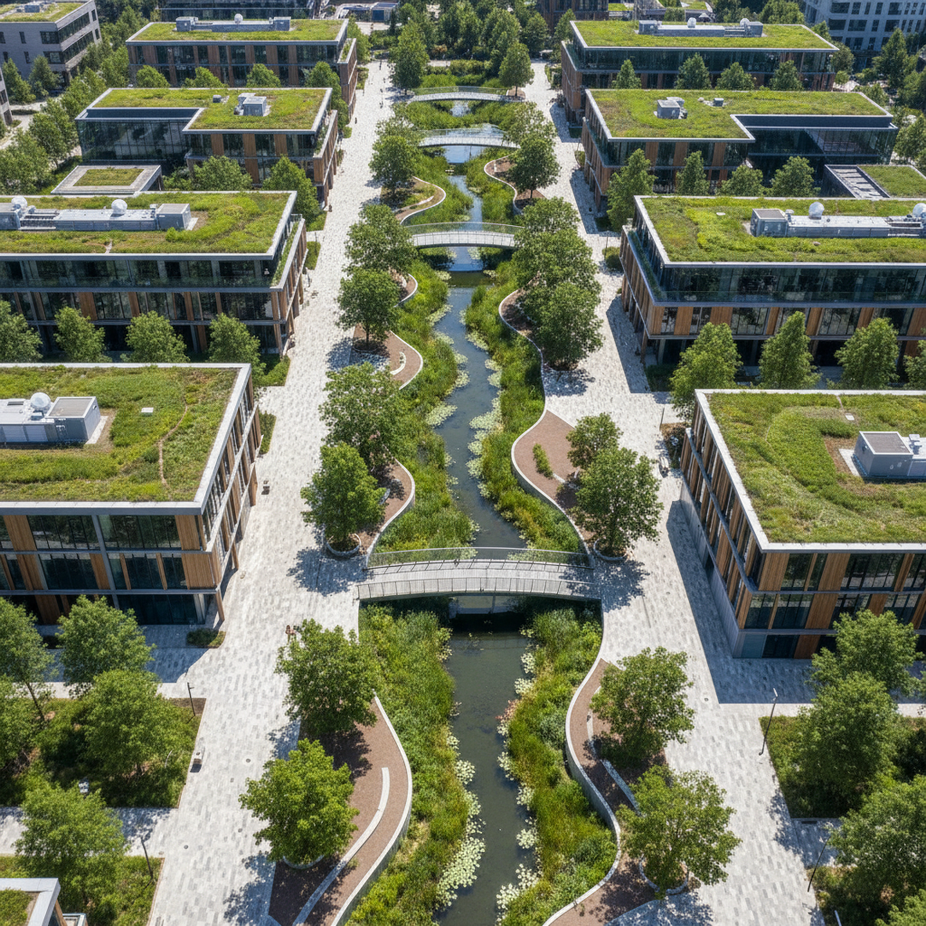
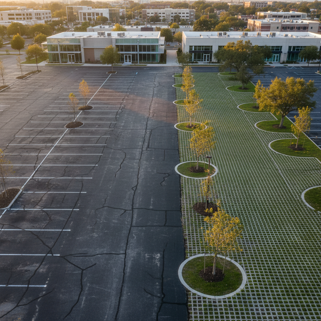
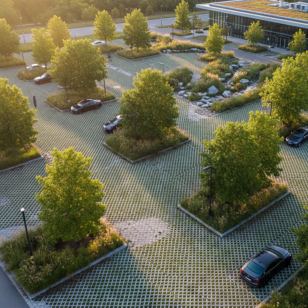
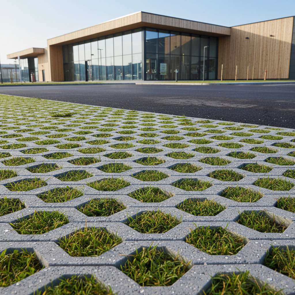
Government calls for projects (the Brownfield Fund, ANRU programs) reflect this priority. However, not all redevelopment projects are created equal from an environmental standpoint. A project that seals off a brownfield site again to build a parking lot does not have the same impact as one that incorporates open ground, trees, and ecological corridors.
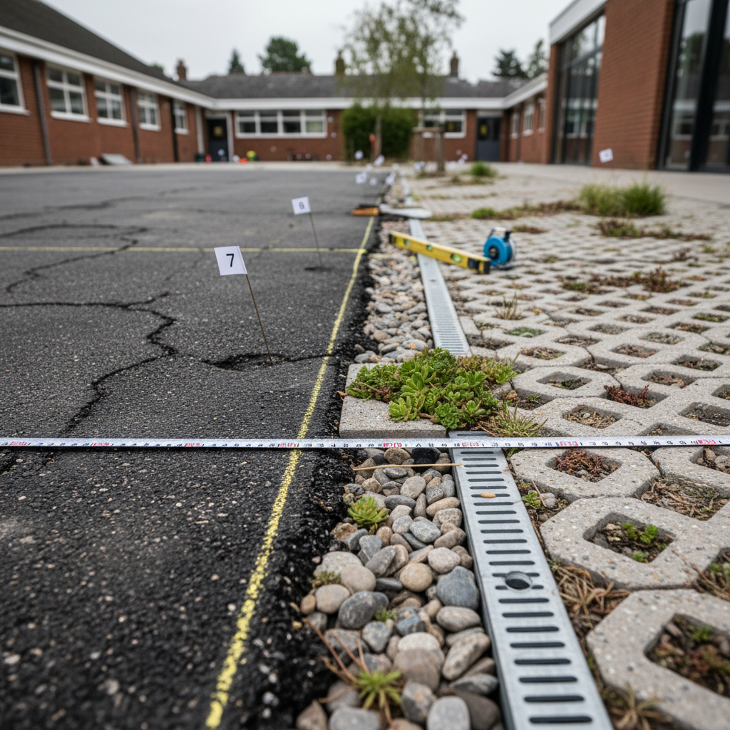
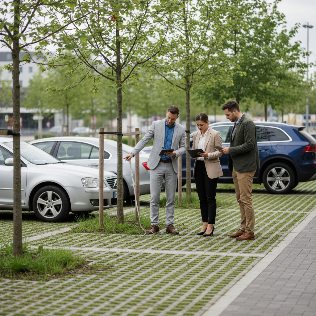
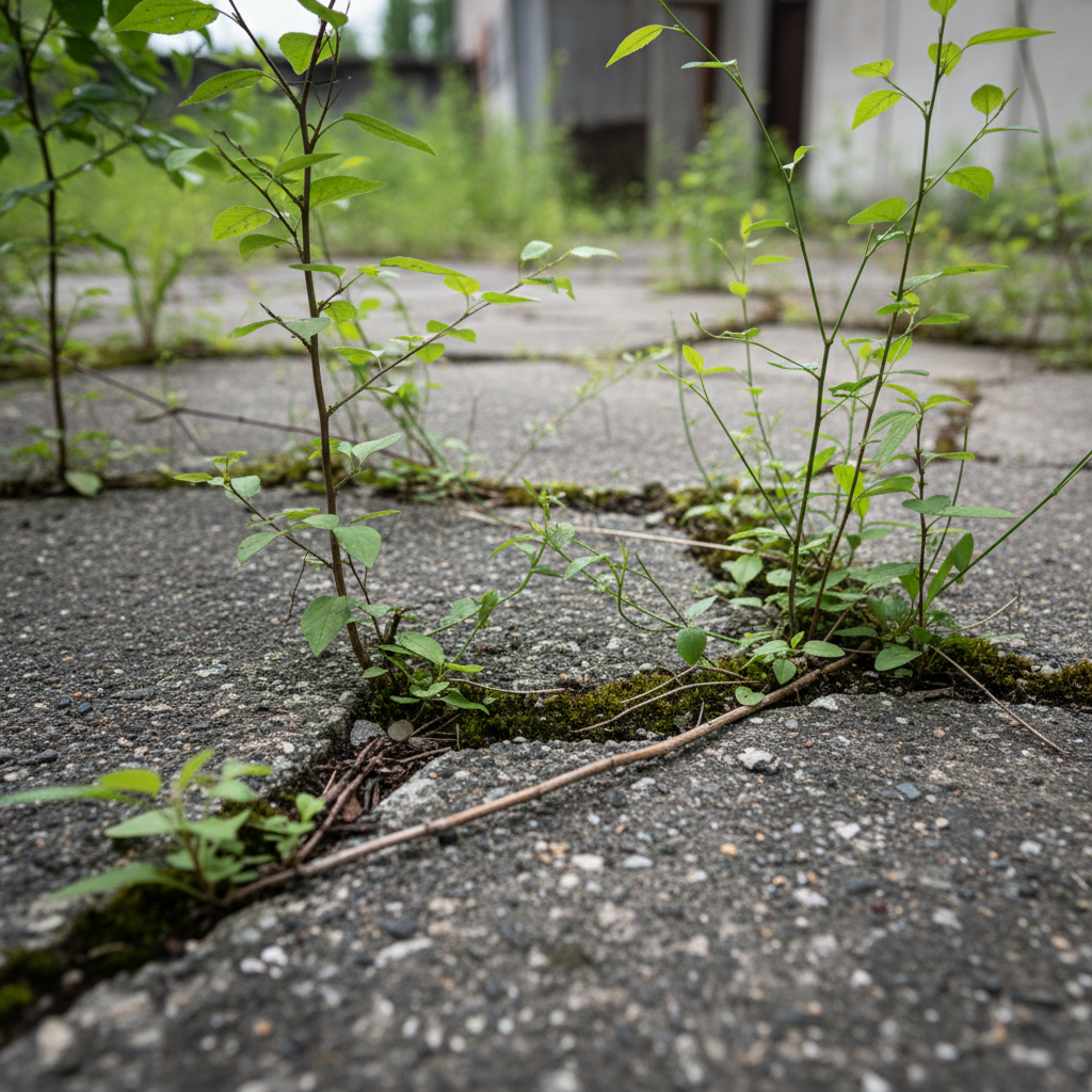
A vacant lot is not a dead space. Depending on its history and current condition, it may already be home to natural vegetation that stores carbon, supports biodiversity, and helps regulate the neighborhood’s temperature. Before transforming it, it is essential to assess what already exists so as not to destroy environmental value in the belief that we are creating it.
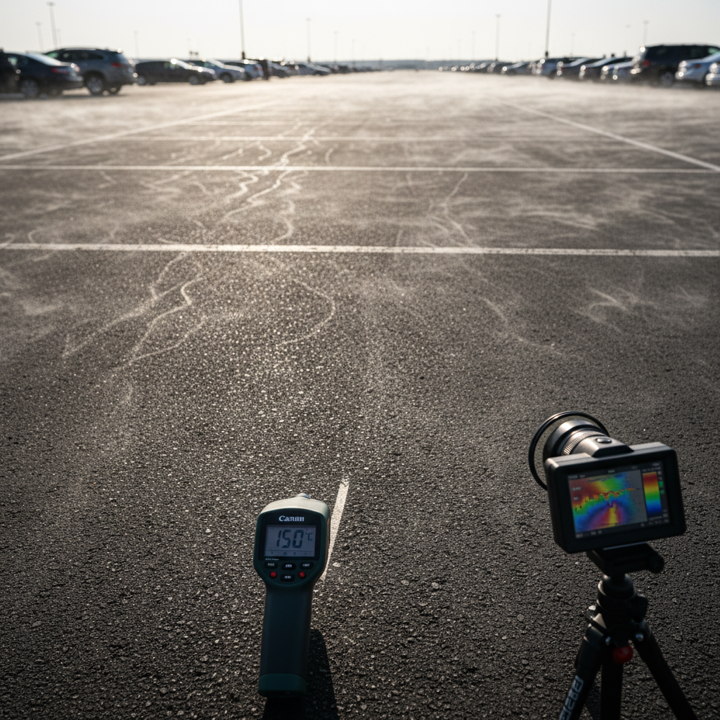
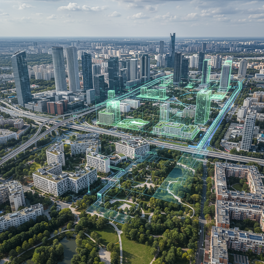
The initial assessment of a brownfield site should cover four key areas: land use (what proportion is impervious, bare ground, or vegetated?), carbon stocks in vegetation and soil, exposure to heat islands, and the site’s ecological quality (biodiversity, connectivity).
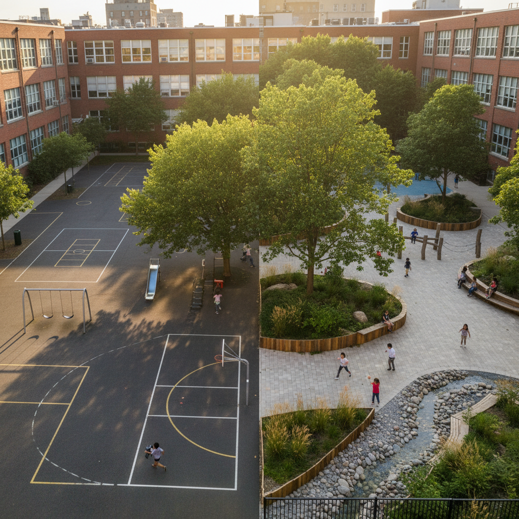
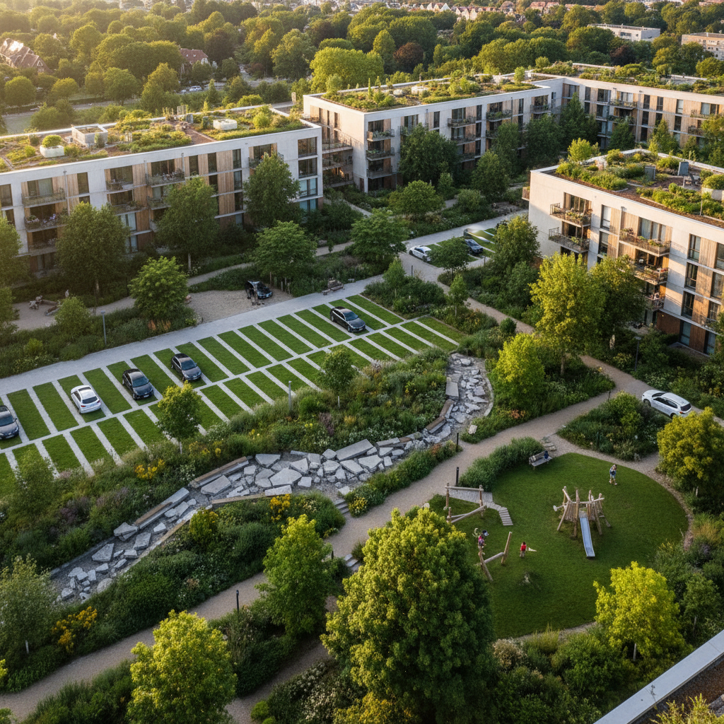
Once the diagnosis has been made, simulating development scenarios allows us to test different options and identify the one that maximizes environmental impact. Should we preserve the existing vegetation or replant? How much open ground should we ensure? What plant selection should we choose to optimize carbon sequestration and temperature reduction?
For the Belleroche ZAC project in Villefranche-sur-Saône (20.8 ha), an analysis of the baseline conditions and project modeling made it possible to objectively assess the effects of urban renewal and inform planning decisions. The measured results show an impact of +0.1°C and -190.4 tCO2—data that help us understand the trade-offs inherent in any renewal project and adjust the design accordingly.
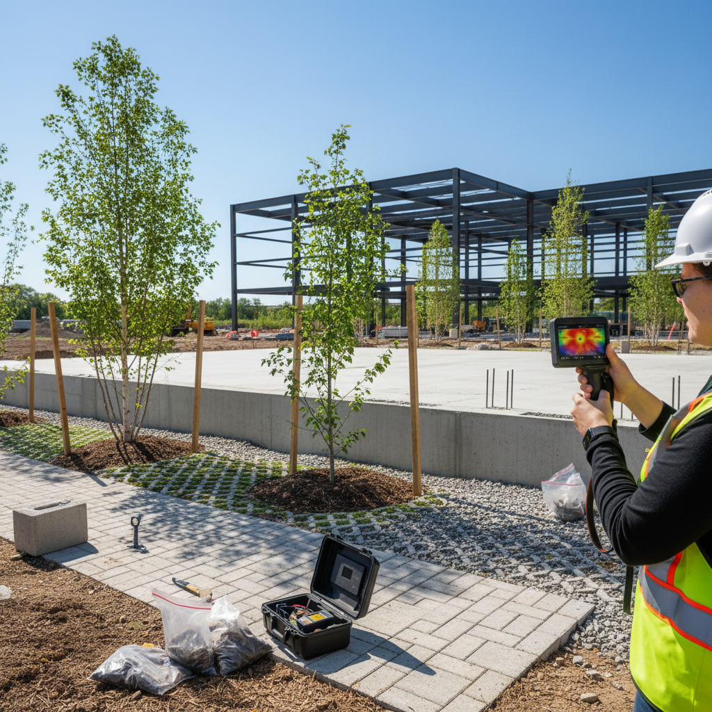
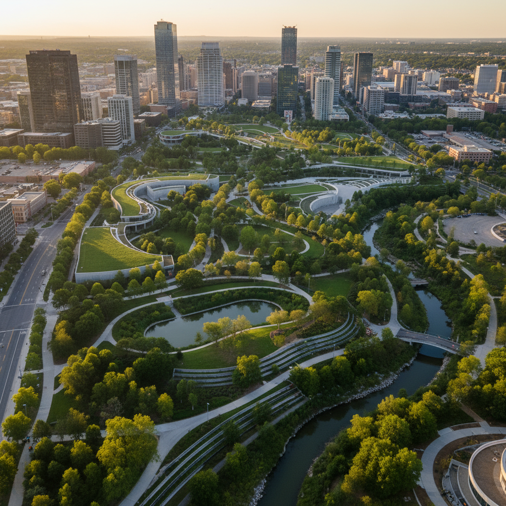
The Combes project in Antibes (2.6 ha) exemplifies an integrated approach to urban renewal. Our support encompassed the initial assessment, impact simulation, optimization of the plant selection in collaboration with the landscape architect, and the attainment of the Low-Carbon City with Trees Label. The results achieved—a 5.5°C reduction in perceived temperature and 52.3 tCO2 of carbon sequestration—demonstrate that a well-designed redevelopment project can generate measurable and quantifiable environmental value.
The "Bas Carbone Ville Arborée" Label provides a certification framework particularly suited to brownfield redevelopment projects. To be eligible, a project must generate at least 25 tons of emissions reductions, be located in a municipality with more than 2,000 residents, and commit to a 25-year monitoring period. Each ton of CO2 sequestered generates a carbon credit that can be traded on the voluntary market.
For local governments and developers, this certification transforms a development project into a carbon asset. It provides institutional recognition, facilitates access to financing, and offers a competitive advantage in bidding processes.
Netcarbon provides end-to-end support to stakeholders involved in the redevelopment of brownfield sites: environmental assessment of the initial condition, multi-scenario simulations to optimize design, long-term monitoring of indicators, and support in obtaining the "Low-Carbon, Tree-Lined City" certification.
The platform makes it possible to turn a land-use constraint into a measurable environmental opportunity. Because redeveloping brownfield sites isn’t just about building on existing structures. It’s an opportunity to restore the land’s ecological functions—provided we know how to measure them.
Vacant lots aren’t problems. They’re solutions—provided we have the data to prove it.

.png)
.png)
.png)
.png)