The Role of Technology in Sustainable Land Use Planning

March 16, 2026
Contents
Do you have any questions?
Contact us

La planification écologique est devenue un impératif politique. Mais entre les objectifs affichés — zéro artificialisation nette, neutralité carbone, résilience climatique — et la capacité opérationnelle à les atteindre, il existe un gouffre. Ce gouffre, c'est la technologie qui peut le combler.

Le constat : on ne peut pas piloter l'écologie à l'aveugle

La France s'est fixé des objectifs parmi les plus ambitieux d'Europe : ZAN en 2050, neutralité carbone (SNBC), adaptation au changement climatique. Pourtant, la plupart des collectivités pilotent ces politiques avec des moyens artisanaux : tableurs, comptages manuels d'arbres, estimations au doigt mouillé de l'artificialisation. Aucun directeur financier n'accepterait de piloter un budget municipal sans logiciel comptable. Pourquoi accepte-t-on de piloter la stratégie climatique sans infrastructure de données adaptée ?

Les briques technologiques de la planification écologique

L'imagerie aérienne et satellitaire

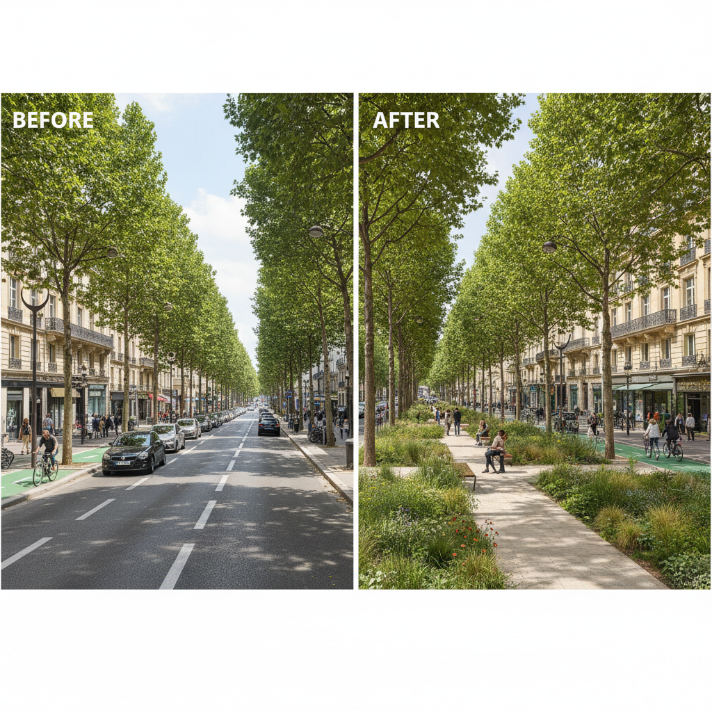
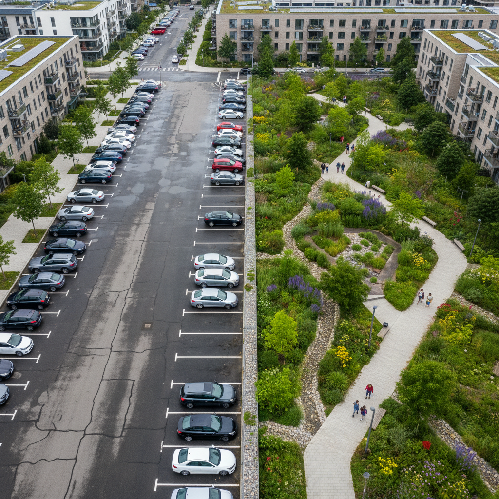
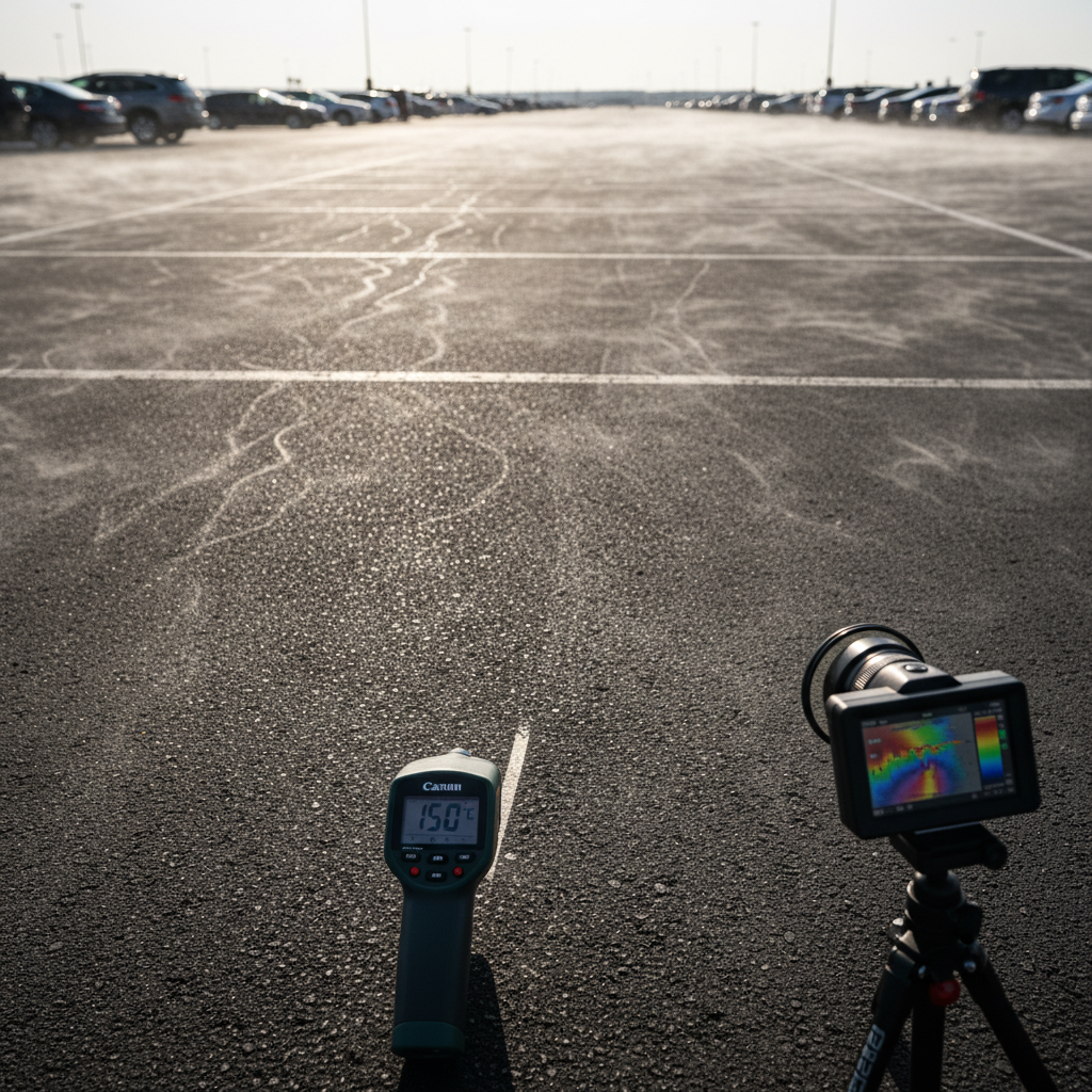
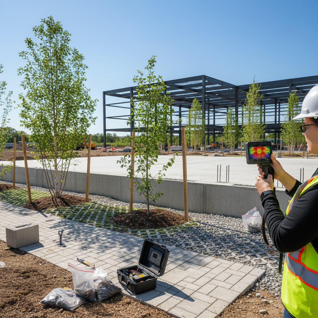
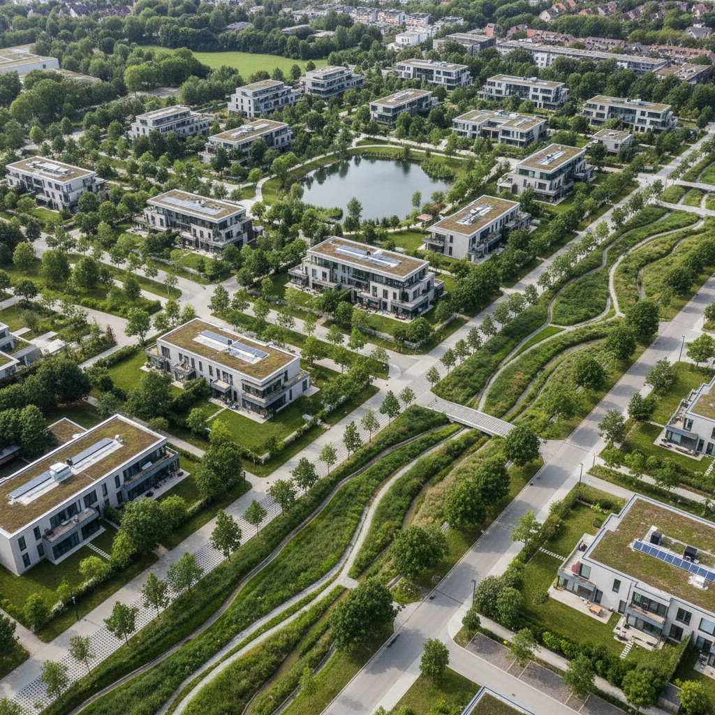
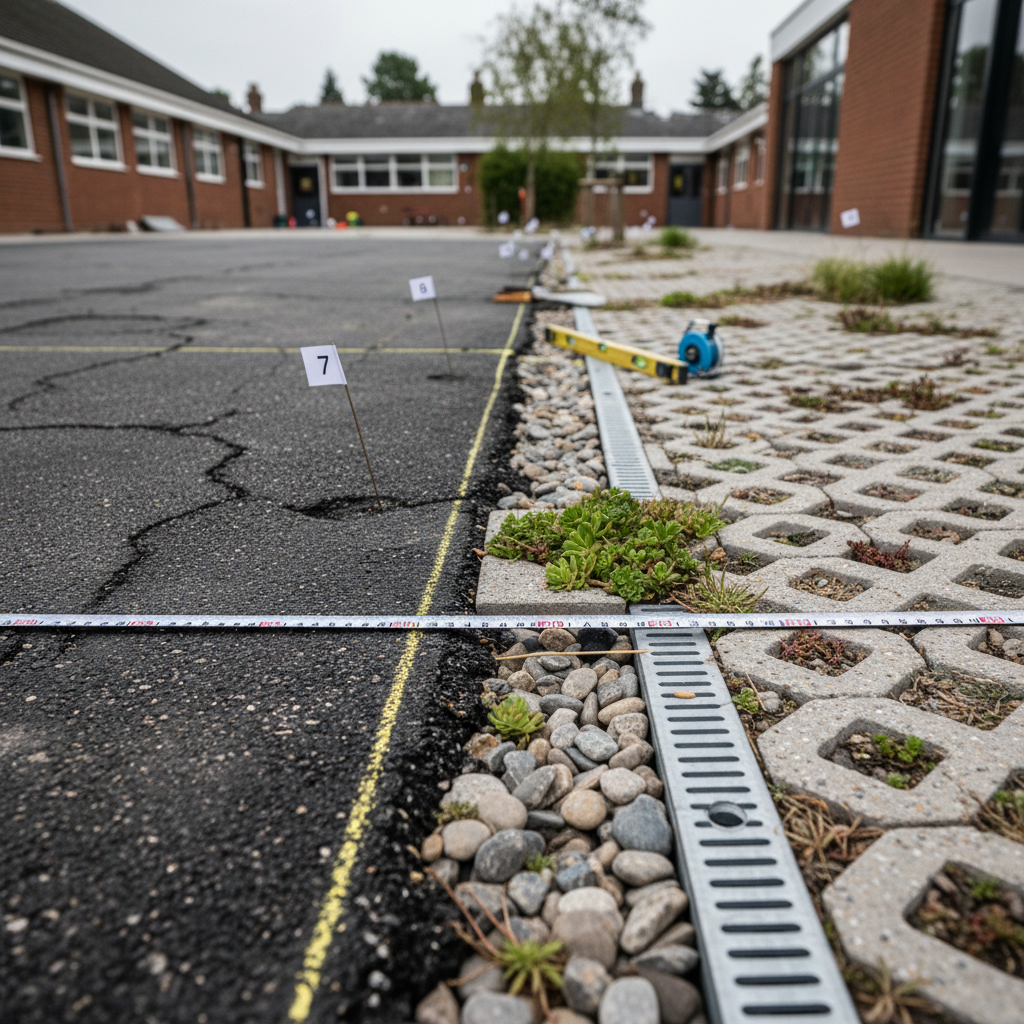
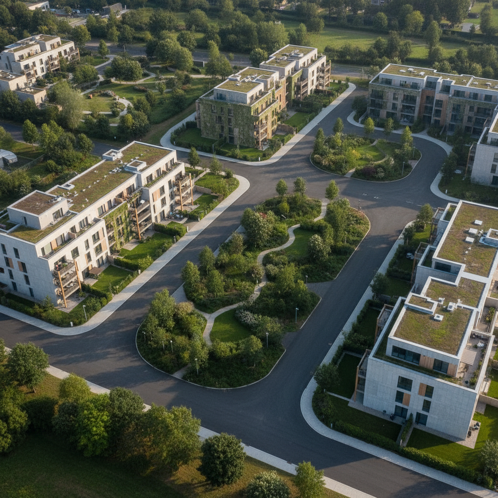
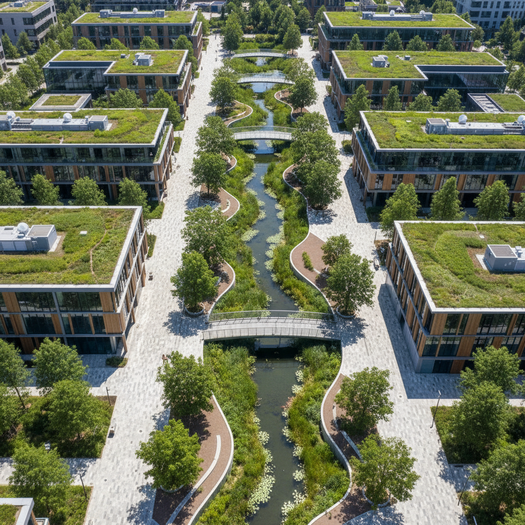
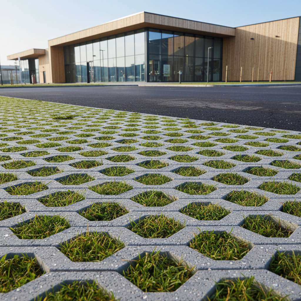
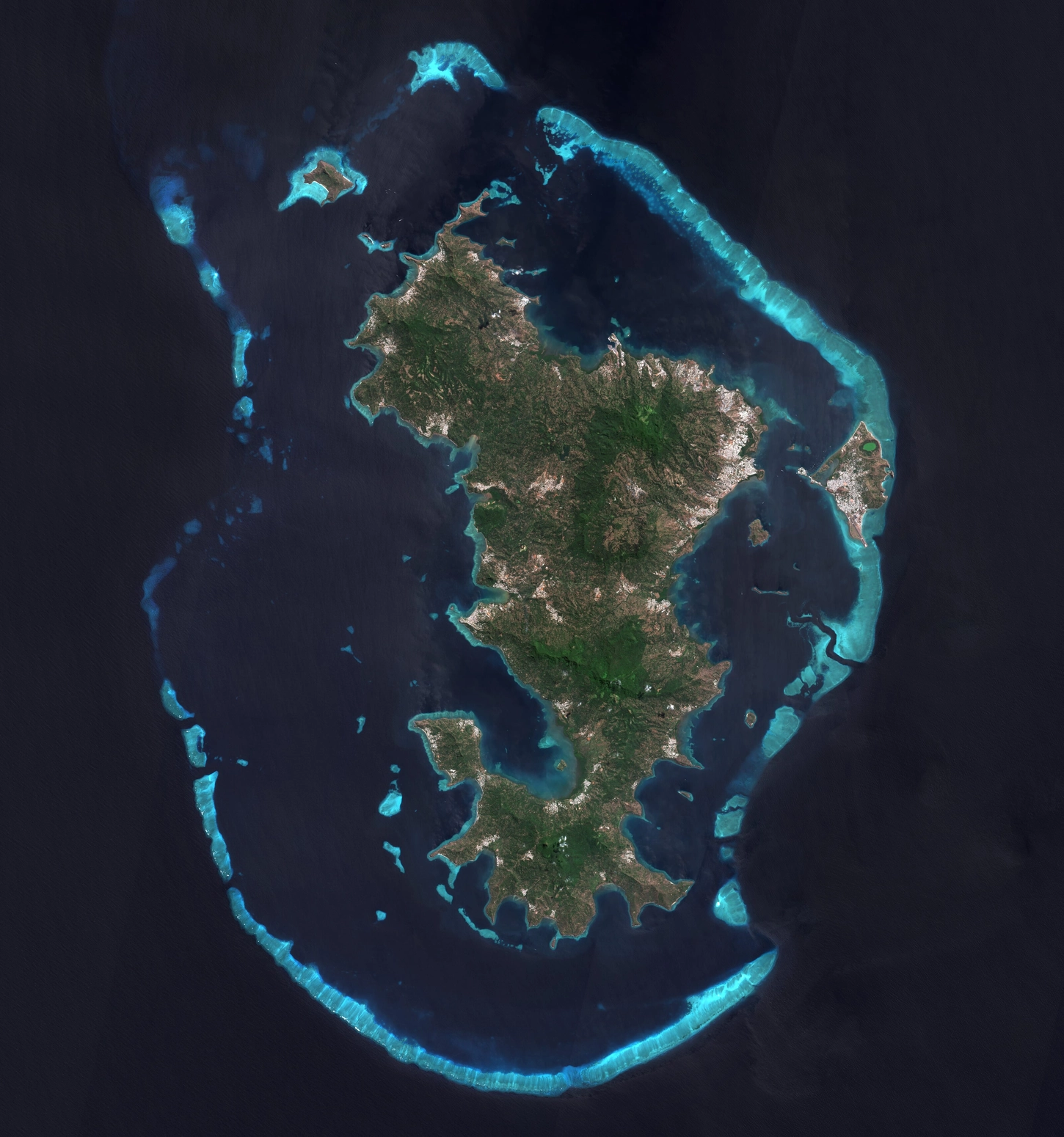
La première brique est la captation : l'imagerie aérienne et satellitaire permet de cartographier l'occupation des sols à grande échelle. Les algorithmes de classification identifient automatiquement les surfaces imperméabilisées, les prairies, les forêts, les plans d'eau, les bâtiments. Cette carte d'occupation des sols constitue le socle de tous les indicateurs.

La modélisation microclimatique

Les modèles de microclimat urbain croisent les données d'occupation des sols avec les données météorologiques (ERA5), la topographie et les propriétés physiques des matériaux pour simuler la température ressentie à une résolution d'un mètre. Le modèle calcule l'UTCI heure par heure sur 24h, produisant une cartographie fine du confort thermique.

La simulation de scénarios

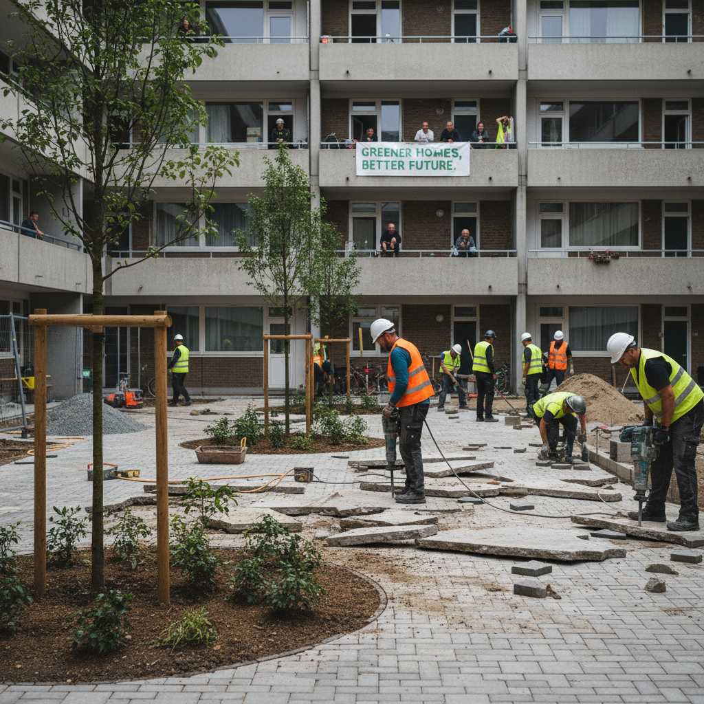
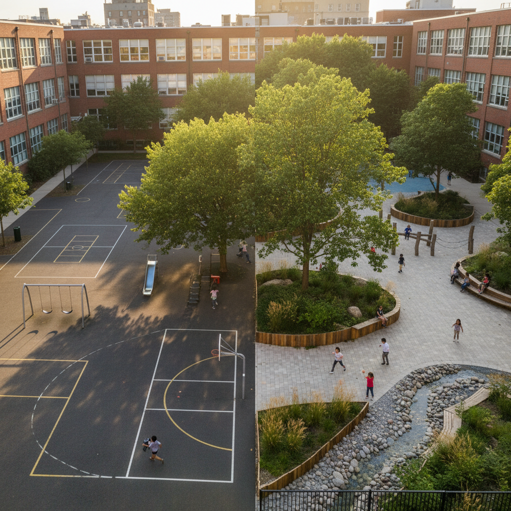
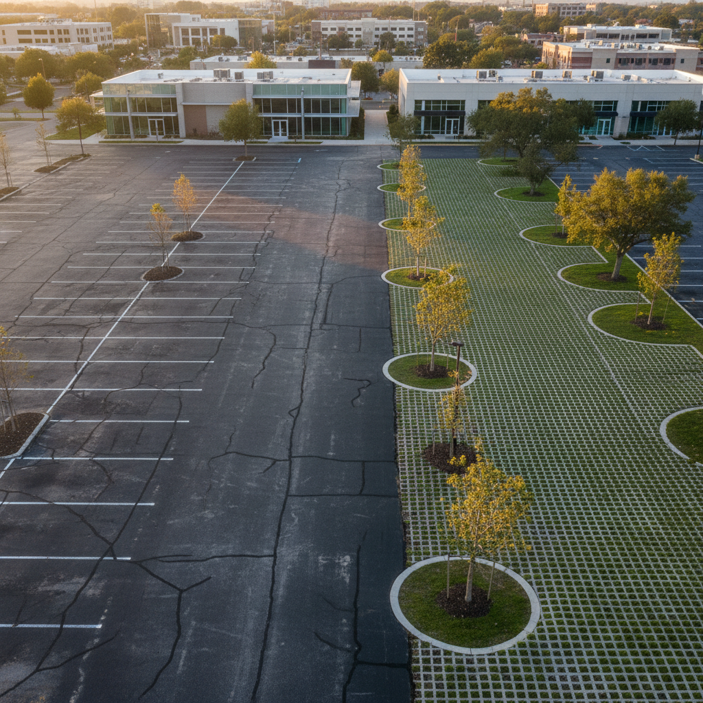
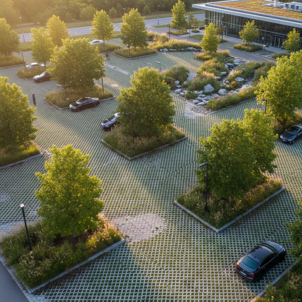
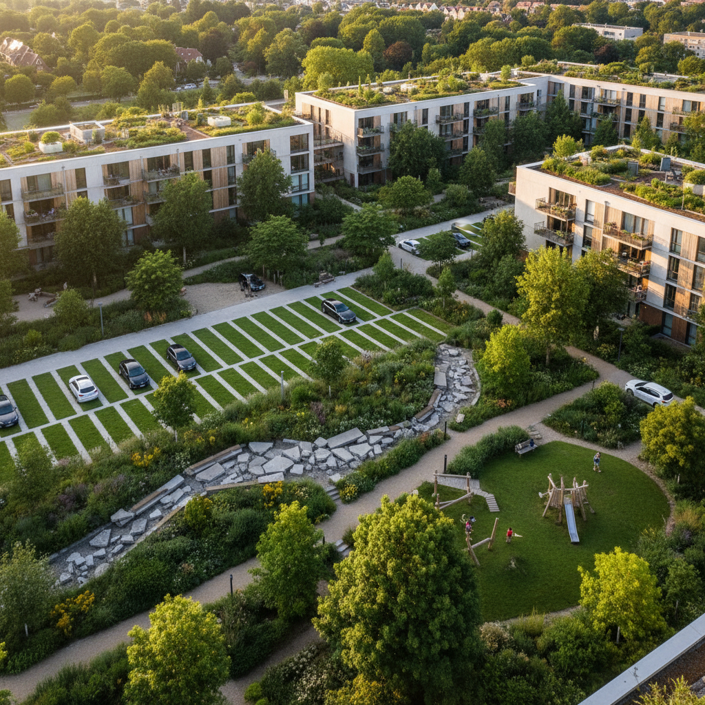
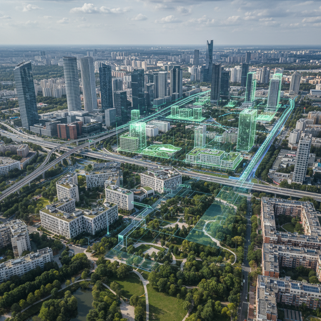
En modifiant les paramètres de la scène urbaine — ajout d'arbres, remplacement de revêtements, désimperméabilisation — la plateforme calcule l'impact sur les quatre indicateurs clés : carbone, température, artificialisation, biodiversité. C'est cette capacité de simulation qui transforme le diagnostic en outil d'aide à la décision.

Le suivi temporel

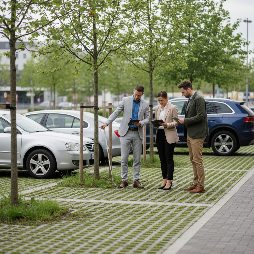
En répétant le diagnostic à intervalles réguliers, la technologie permet de vérifier que les projets produisent les résultats attendus et d'ajuster les stratégies en conséquence.

La tech n'est pas un luxe — c'est une nécessité

Pour les collectivités

Les collectivités qui adoptent des outils de diagnostic et de simulation environnementale disposent d'un avantage décisif : la capacité de prioriser les zones à enjeux, d'optimiser les investissements et de démontrer l'impact de leurs actions. C'est la condition pour accéder aux financements (fonds européens, appels à projets) et satisfaire les obligations de reporting.

Pour les aménageurs

Les promoteurs et aménageurs qui intègrent la simulation environnementale dans leurs processus de conception se différencient dans les appels d'offres. Les données produites alimentent directement les mémoires techniques et les dossiers de permis de construire.

Pour les infrastructures

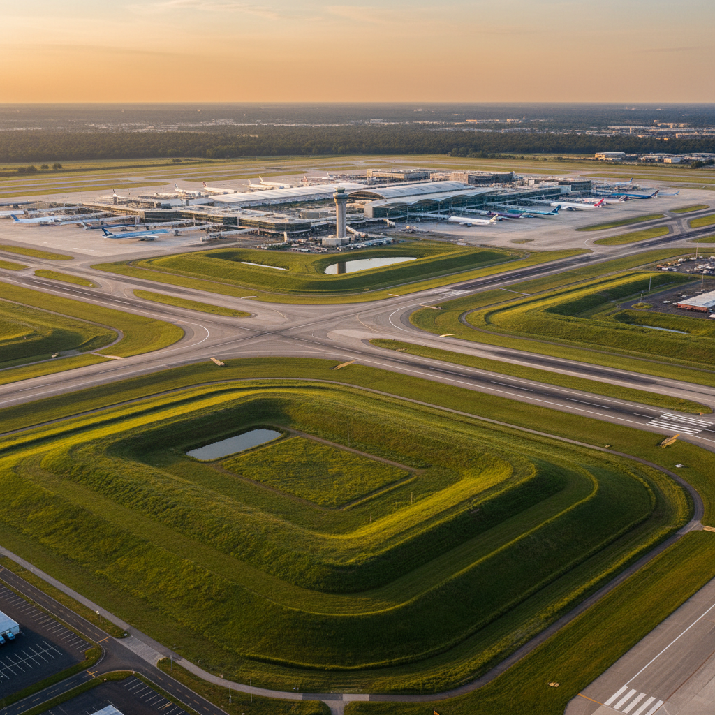
Les gestionnaires d'infrastructures (aéroports, autoroutes, ferroviaire) qui monitorent leurs emprises avec des outils de suivi environnemental répondent aux exigences croissantes de RSE et de biodiversité nette positive. Netcarbon monitore déjà plus de 100 000 hectares d'emprises de transport.

Ce que Netcarbon apporte

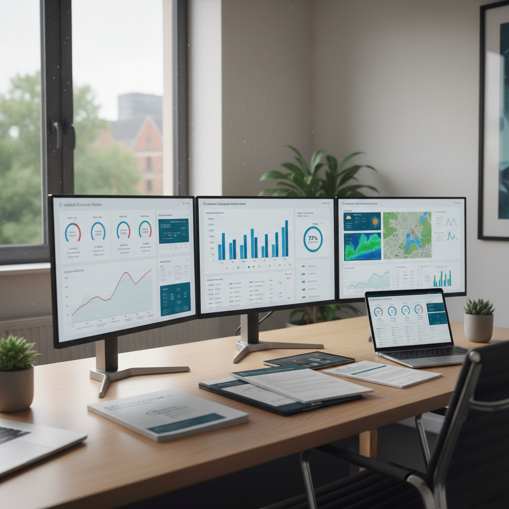
Netcarbon est une plateforme SaaS qui intègre l'ensemble de ces briques technologiques : imagerie aérienne, classification des sols, modélisation microclimatique (UTCI), simulation de scénarios multi-impacts et suivi dans le temps. Elle produit des données exploitées par les collectivités, aménageurs, bailleurs et infrastructures pour piloter leur stratégie environnementale.

La planification écologique ne sera pas pilotée par la volonté politique seule. Elle le sera par la technologie qui la rend mesurable.

Satellite image of Salale Tanzania

Are you running a carbon storage project?

Contact us

Our blogs

Combating UCCs: How Local Governments Can Measure and Demonstrate Their Impact

Soil De-impermeabilization: Definition, Challenges, and Regulatory Requirements in France

Climate Transition: Why Data Is the Real Driving Force Behind the Next Municipal Terms

Removing waterproofing in real estate projects: a regulatory requirement and a competitive advantage

Urban heat islands: Understanding the phenomenon to take more effective action

Low-Carbon Label for Infrastructure: Ports, Airports, and Highways Facing Offset Requirements

Heat Islands on Airport and Highway Rights-of-Way: Measure to Take Action

Removing waterproofing from public housing: how social housing providers are making their buildings more eco-friendly

Urban brownfields: an underutilized tool for land and environmental policy

Heat islands: How developers are addressing thermal considerations in their development projects

Reducing Urban Heat Islands in Construction Projects: Requirements and Methods for Developers

The Low Carbon Label and Real Estate Developers: How to Incorporate Carbon Sequestration into Your Development Projects

Schoolyards, Oases, and ZAN: How Unsealing Schoolyards Contributes to the Net Zero Land Take Goal

Oasis Playground: Turning the Schoolyard into an Urban Oasis

Removing Waterproofing from Historic Buildings: ESG Considerations and Methods for Social Housing Landlords and Real Estate Companies

Removing waterproofing in new construction projects: incorporating the CBS from the design phase to meet RE2020 and ZAN requirements

Greening a parking lot: why paved surfaces offer an opportunity for urban restoration

Green parking lots in urban development projects: how to use them as a regulatory and marketing selling point

Greening Parking Lots: What Local Governments Can Require, Fund, and Measure

Shopping Center Parking Lots: How Real Estate Companies Are Turning Their Asphalt Surfaces Into Green Assets

Removing impervious surfaces from parking lots and industrial sites: how infrastructure reduces its footprint on the ground

Low-Carbon Label in Urban Planning: Promoting Local Governments’ Renaturation Projects

Low-Carbon Label and Social Housing Providers: Promoting the Greening of Housing Stock

Oasis Courtyard: What is the budget, what are the financing options, and what is the return on investment?

Can nature in the city be objectified? Biodiversity, carbon, and the urban climate

The Role of Technology in Sustainable Land Use Planning

Local Climate Action: How Data Increases Public Acceptance

Urban Materials and Climate: How the Choice of Pavement Affects City Temperatures

Urban Renaturation: What Indicators Should Be Used to Measure Its Actual Impact?

Land-use change: What are the actual impacts on the local climate?

Heat islands: How developers are addressing thermal considerations in their development projects

How the popcorn industry pays its farmers based on the carbon sequestered in the soil

PCAET and Carbon Sequestration: A Guide to Understanding and Acting

Acting for the Planet: The Crucial Role of Carbon Storage

Hedges: climate soldiers

Change the World with Soil: 4 for 1000 Initiative Essentials

Beyond Emissions Reduction : The Co-benefits of Carbon Capture