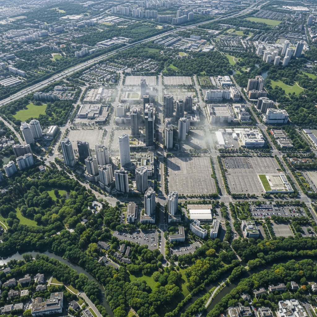

The Plan Climat-Air-Énergie Territorial (PCAET) is a strategic and operational planning process that mobilizes all sectors of activity, as well as social, economic and environmental players, under the impetus and coordination of a local authority: commune, community of communes...
The PCAET must comply with the rules of the SRADDET, SDRIF, SAR and other regulatory frameworks, while taking into account the SCOT and the national low-carbon strategy. Compatibility with the PLU/PLUi is also essential, as is compatibility with the PPA.
.png)
The PCAET is primarily aimed at inter-municipal bodies with their own tax system and over 20,000 inhabitants (known as EPCIs). However, smaller intermunicipalities can also draw up a PCAET on a voluntary basis.
Under certain conditions, it is possible to produce a PCAET on the scale of a Schéma de Cohérence Territoriale (SCOT), or even to integrate it into a SCOT.
🎯 The PCAET has 2 objectives:
To achieve these objectives, the PCAET requires a territorial diagnosis to be carried out, including :
→ A complete overview of the energy situation
→ Estimating local greenhouse gas emissions
→ Estimating air pollutants
→ Estimating net CO2 sequestration
→ Analysis of the region's vulnerability to the effects of climate change
The PCAET must be revised every 6 years, including a mid-term assessment (3 years). A strategic environmental assessment (SEA) is carried out in parallel, to integrate the environment into the design of the PCAET and minimize its impact on it.
The PCAET action program describes the measures needed to achieve the strategy's objectives. Ongoing monitoring uses pre-defined quantitative indicators to measure results such as energy savings or CO2 emissions avoided. Specific indicators are also established to assess environmental issues.
Dashboards record indicators to monitor long-term objectives. Indicators justify the resources allocated and the policy pursued, but their essential role is in evaluation. However, they require qualitative analysis to fully assess the real effects of actions.
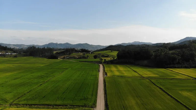
Carbon sequestration refers to the capture and storage of CO2 in ecosystems (soils and forests) and in wood products.
From the point of view of the decree: "The diagnosis includes: an estimate of net carbon dioxide sequestration and its development potential, identifying at least agricultural soils and forest, taking into account changes in land use."
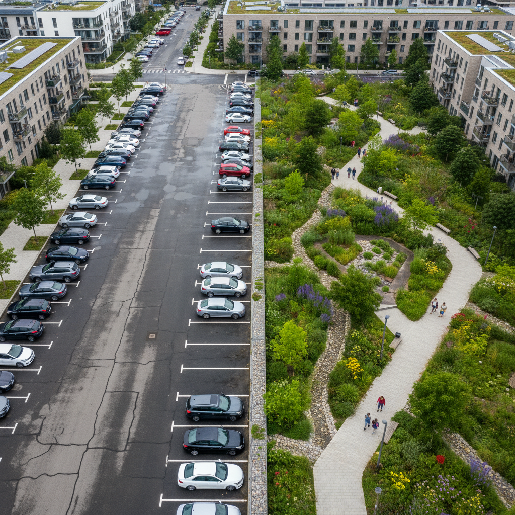
Soils and forests represent carbon stocks 2 to 3 times greater than those of the atmosphere: they are real carbon sinks. It is therefore crucial to optimize their capacity to capture and fix atmospheric carbon, and to use them as allies in reducing greenhouse gas emissions.
Today, carbon sequestration can be measured in 2 ways:
→ Commission a laboratory to take soil samples.
→ Use reference systems associating carbon stocks with land-use patterns.
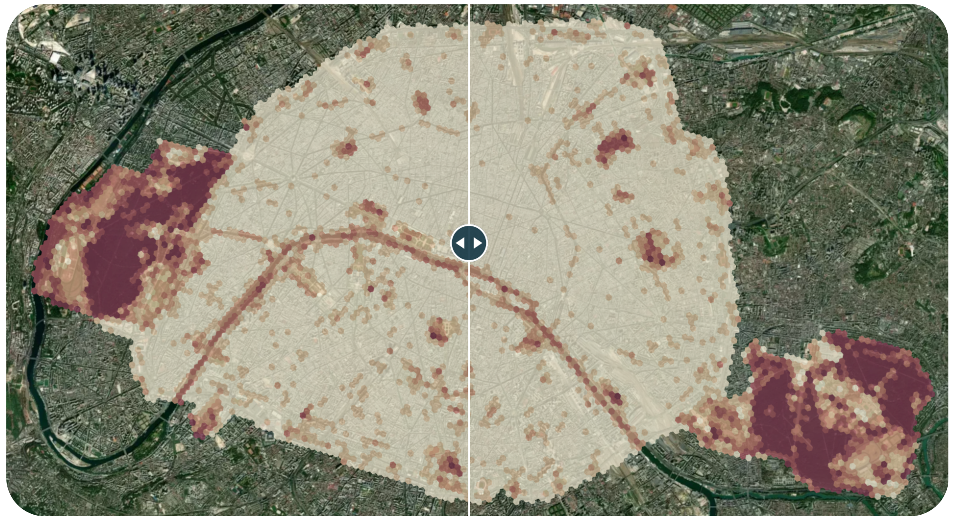
At Netcarbon, we have developed a tool that measures carbon stock and capture on an annual basis, using satellite data. This provides an annual update of carbon stocks at the intermunicipal level, as well as for each commune.
Based on two ISRIC and ADEME methodologies, Netcarbon produces a measurement of carbon stock on vegetated areas as well as on built-up areas at a resolution of 10 meters. This method makes it possible to offer a fine resolution measurement, to monitor carbon storage annually with updated data, and to have access to a history since 2018. The aim is to understand the evolution of your territory, easily meet regulatory requirements and study areas for development.
The PCAET requires the measurement and monitoring of carbon stocks, but the aim of combating climate change is to increase these stocks. To achieve this, the Netcarbon Intelligence application can be used to define and simulate the impact of renaturation scenarios on the scale of a district, commune or inter-communal area.
The aim? To have all the cards in hand to renaturalize objectively and effectively, by planting the right vegetation in the right place.
Are you affected by the PCAET and looking to measure your carbon storage? Then contact us!
📚 Sources:
https://territoireengagetransitionecologique.
ademe.fr/pcaet-quest-ce-que-cest/
https://www.ecologie.gouv.fr/politiques-du-climat-lair-et-lenergie
https://www.ecologie.gouv.fr/action-des-territoires-transition-energetiqueLePlan Climat-Air-Énergie Territorial (PCAET) represents a crucial strategic initiative in the fight against climate change. Combined with carbon sequestration techniques, the PCAET offers a comprehensive approach to reducing greenhouse gas (GHG) emissions and improving territorial resilience.

.png)
.png)
.png)
.png)