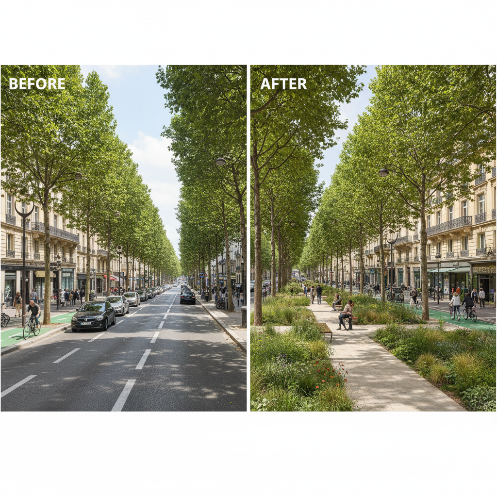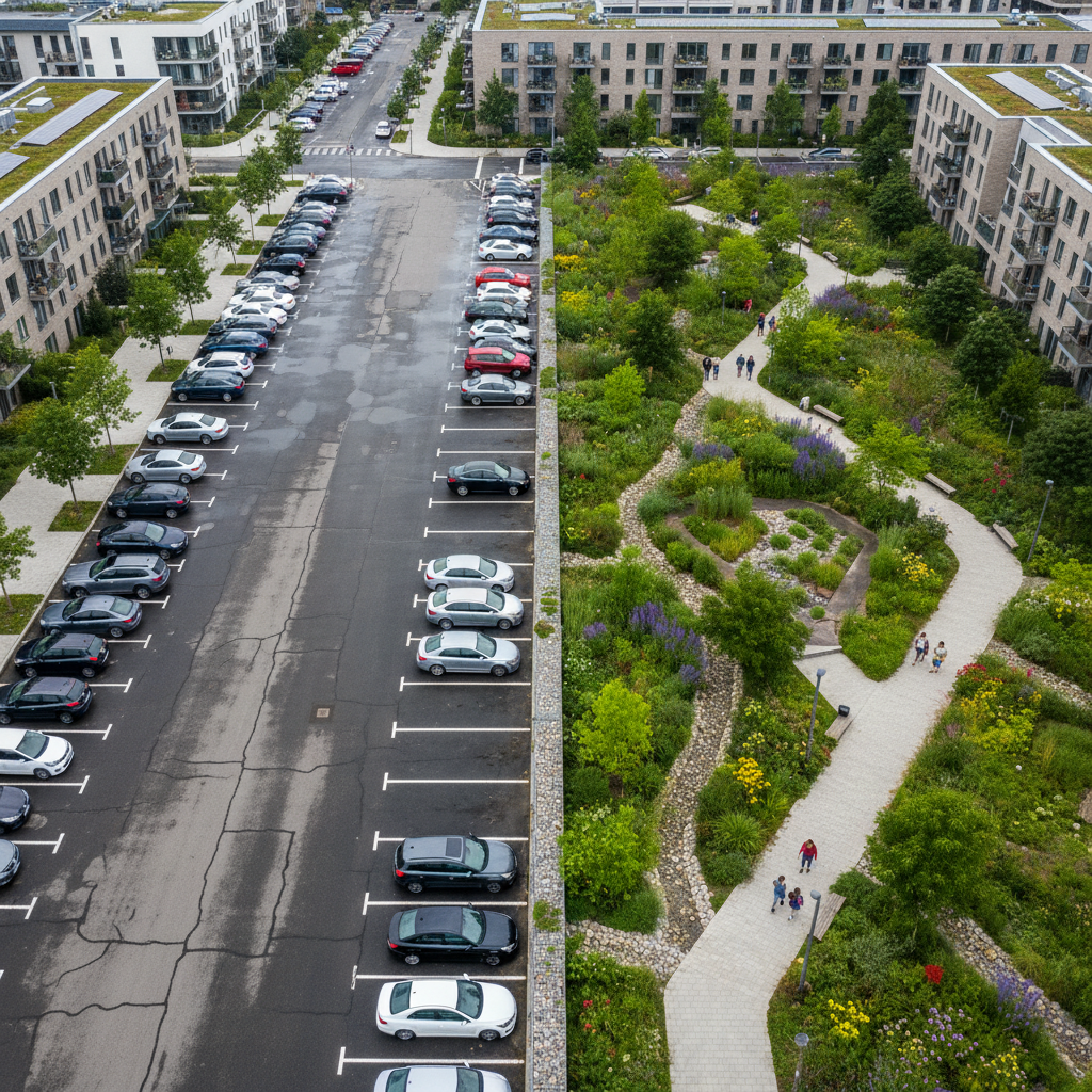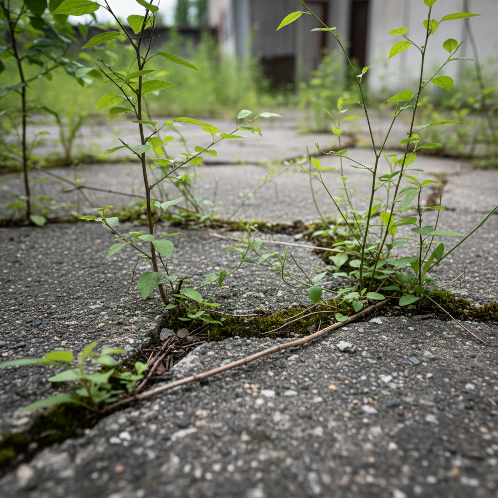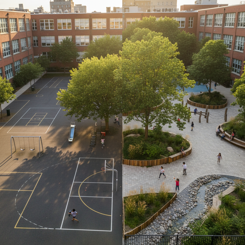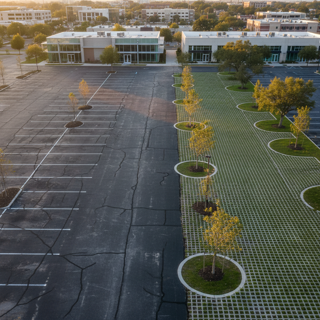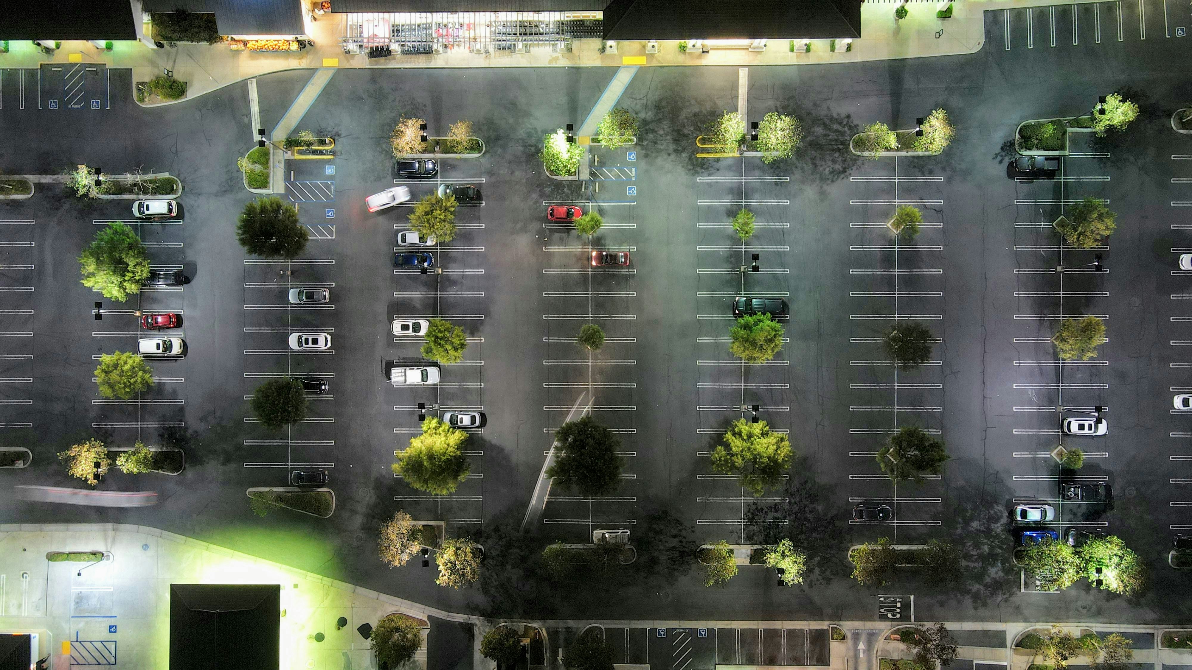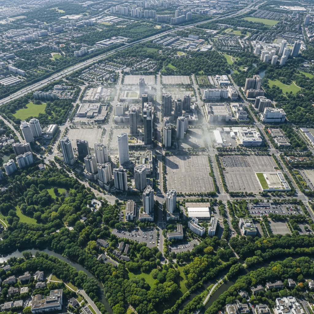
In a typical public housing complex, undeveloped areas account for 40% to 60% of the total managed area. Their paving leads to: reduced thermal comfort in the summer, localized flooding, high maintenance costs, and a decline in the complex’s appearance.
The SRU Act, the PCAET, the ZAN, and the CSRD all require property owners to manage their land holdings more responsibly. Local urban planning regulations are increasingly mandating minimum building coverage ratios for renovation projects.
The CSRD requires reporting on environmental impacts related to land use, including: impervious surface area, vegetation cover, actions taken, and biodiversity indicators (CBSh).
The European Taxonomy requires real estate activities to demonstrate their contribution to climate change adaptation. De-impermeabilization and greening are eligible for recognition—provided they are supported by reliable data.
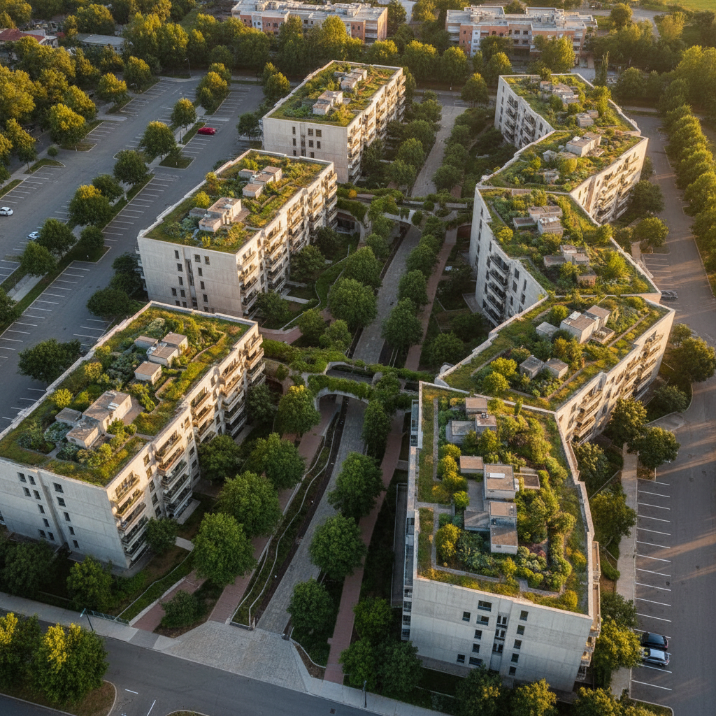
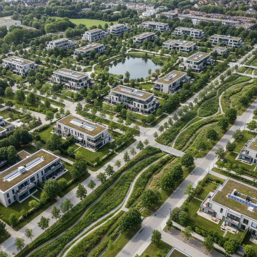
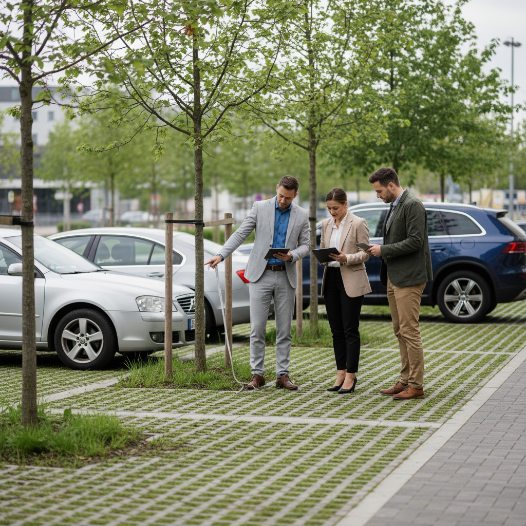
A housing stock of 10,000 units may be spread across 200 residential complexes in 50 different municipalities. Aerial imagery offers a breakthrough: within a few weeks, the entire housing stock is analyzed, and each residential complex is assigned its own environmental indicators.
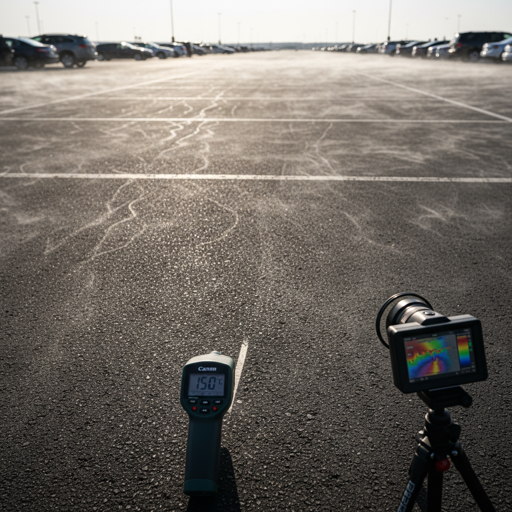
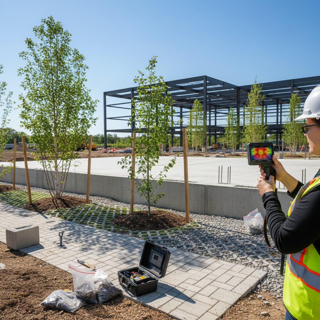
Netcarbon analyzes aerial images of each residence to produce: land-use maps, the imperviousness rate per residence, surface temperature, carbon stock, and CBSh.
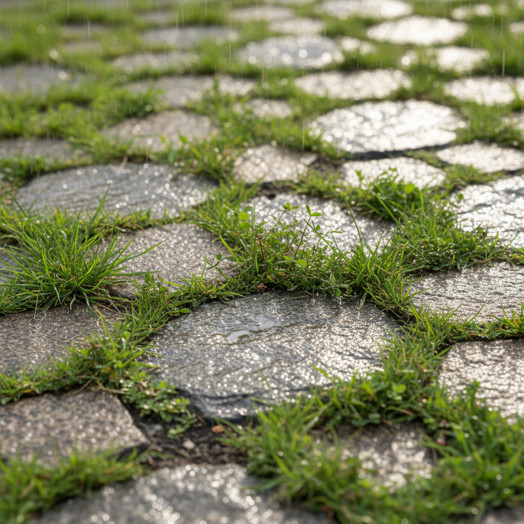
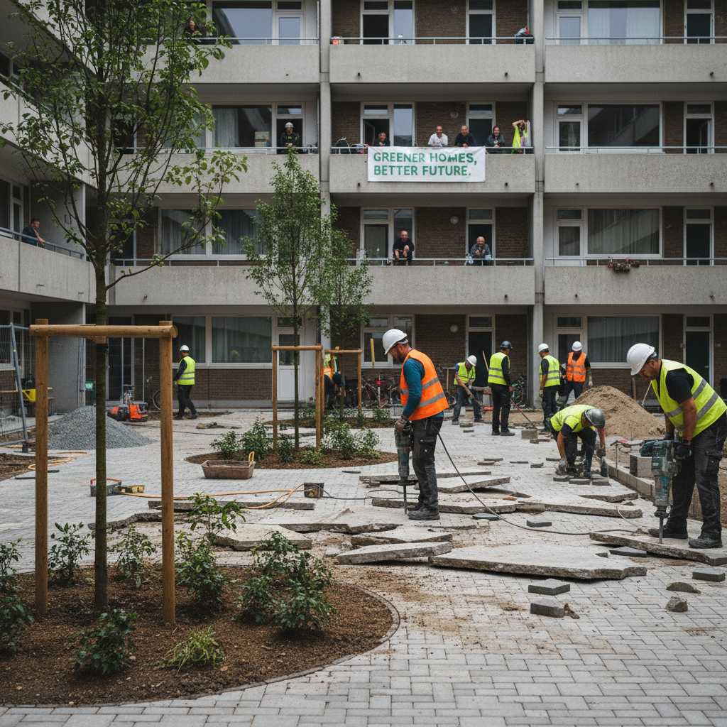
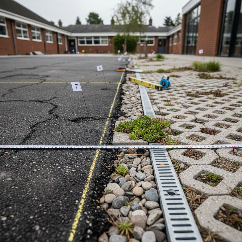
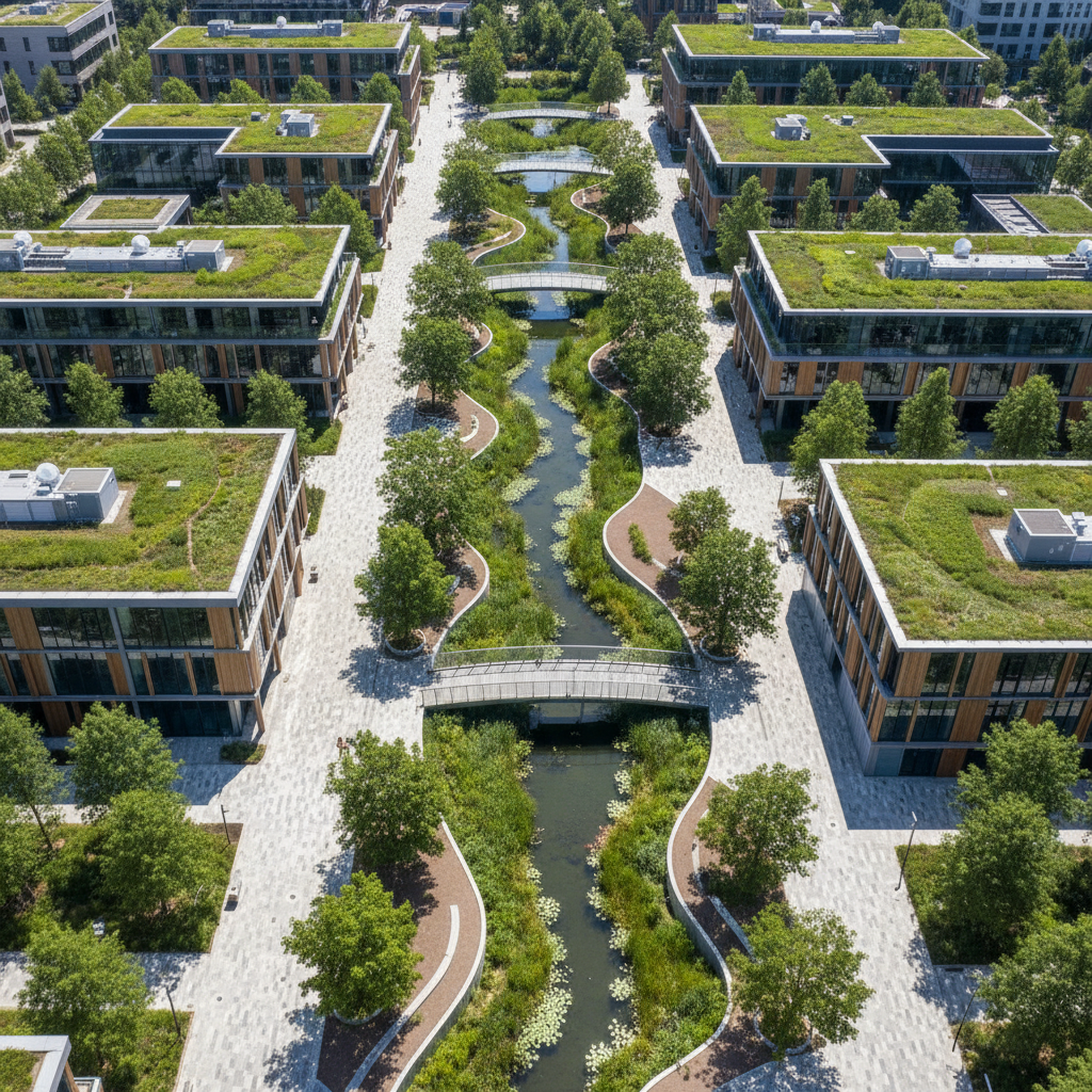
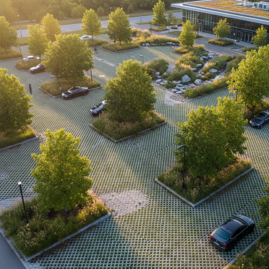
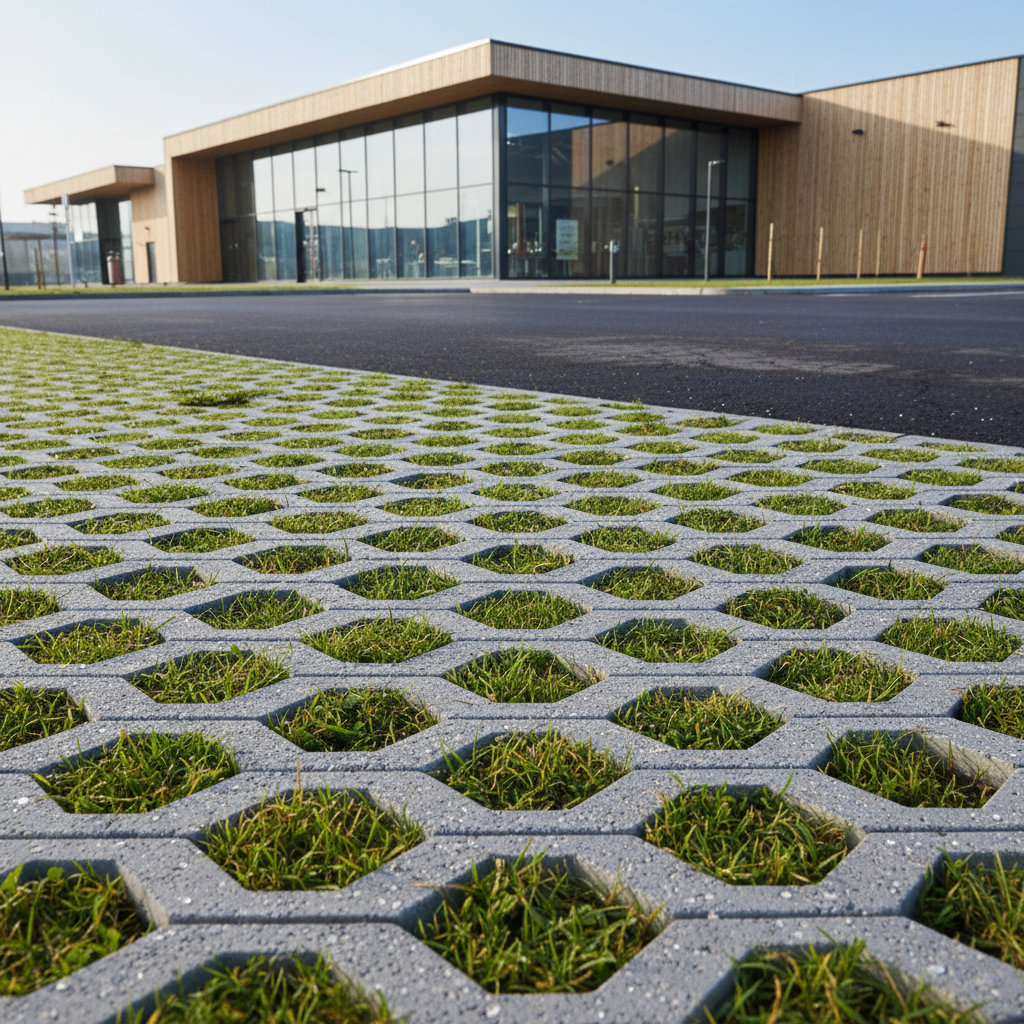
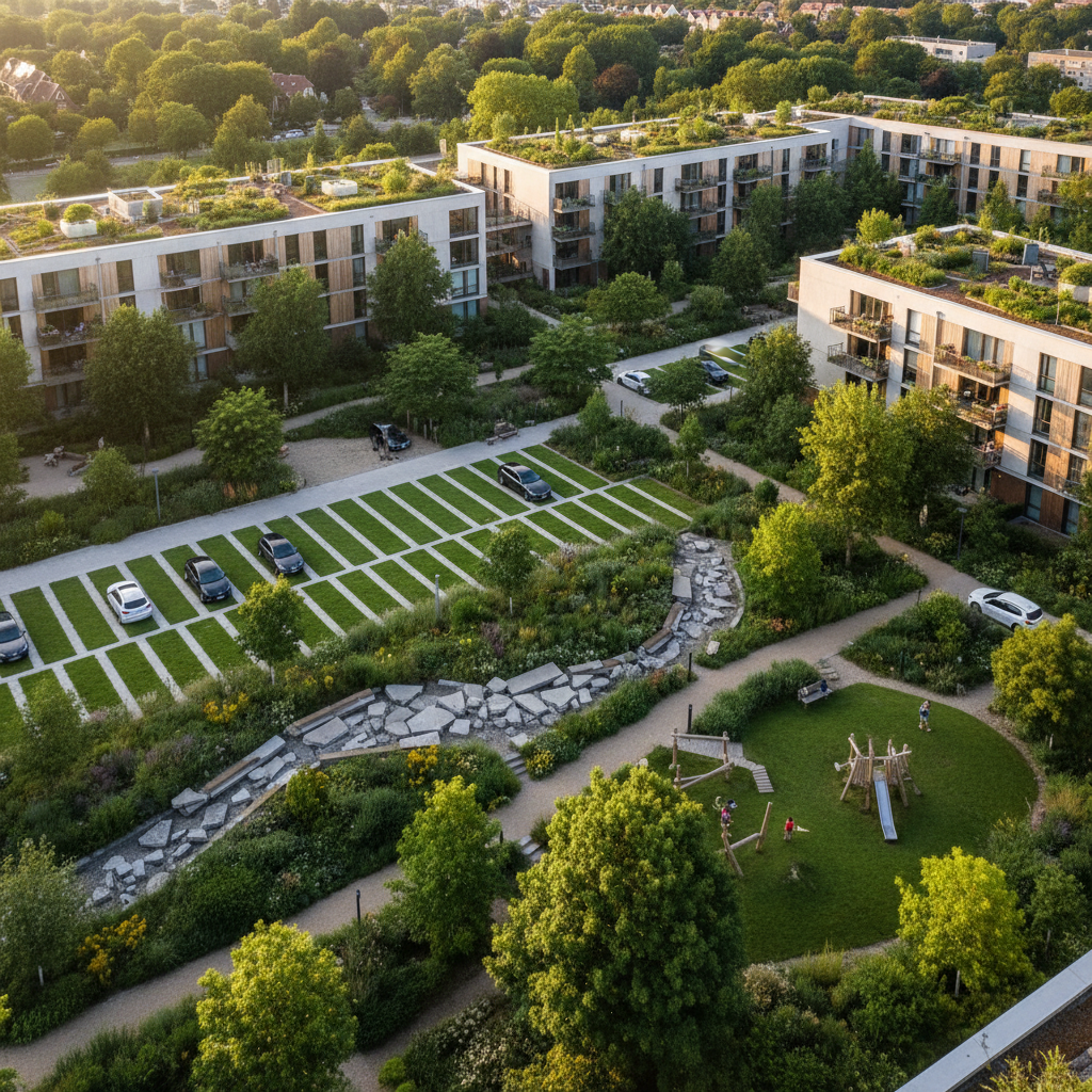
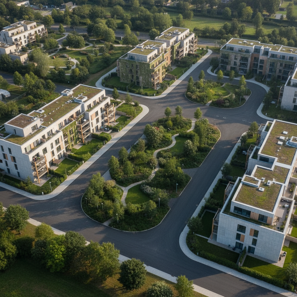
Planting vegetation at the base of the facade reduces the heat island effect, improves summer insulation, and enhances the landscape. Replacing playground pavers with permeable surfaces improves water infiltration.
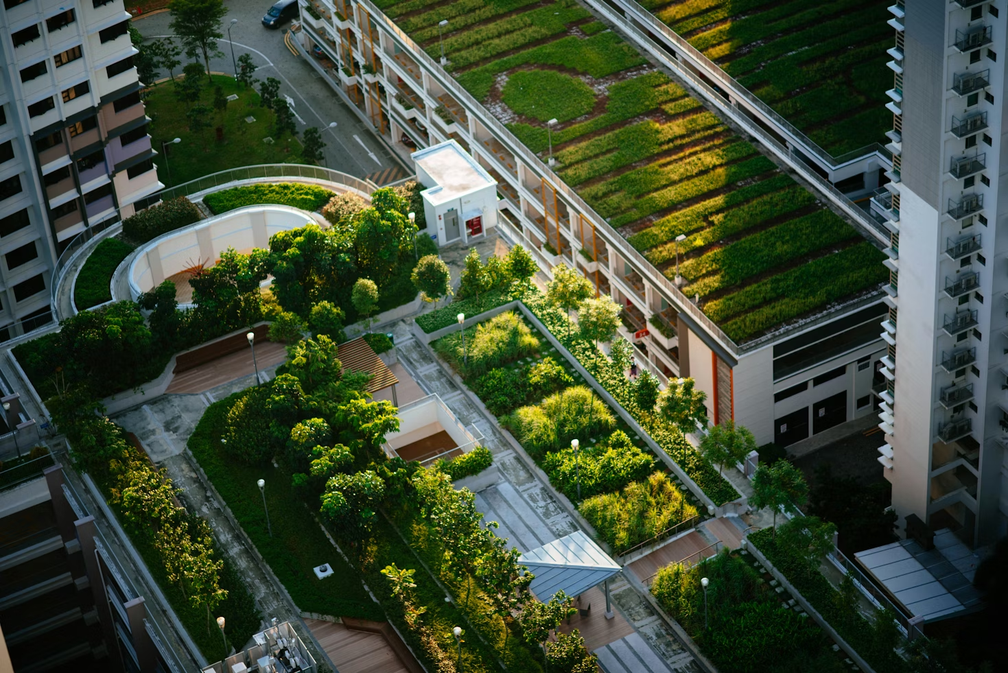
Greening flat roofs improves summer insulation, reduces surface temperatures by 20°C to 40°C, and provides a habitat for biodiversity. Cost: €80 to €150 per square meter; often eligible for ANAH, Green Fund, and CEE grants.
The indicators produced by Netcarbon are ready for use in CSRD reporting: they are calculated using a documented, reproducible, and third-party-auditable methodology.
The carbon credits generated can be retained or sold (€30–50 per ton of CO2). For a program involving 500 trees across 50 residential properties, the potential over 25 years can reach several hundred tons of CO2.
Comprehensive asset assessment:
This assessment made it possible to identify residential areas with high levels of impervious surfaces and to launch a prioritized greening program.
Are you a social housing provider or real estate company looking to assess the potential for de-impermeabilization of your properties? Netcarbon analyzes all of your residential properties from the air. Contact us.

.png)
.png)
.png)
.png)