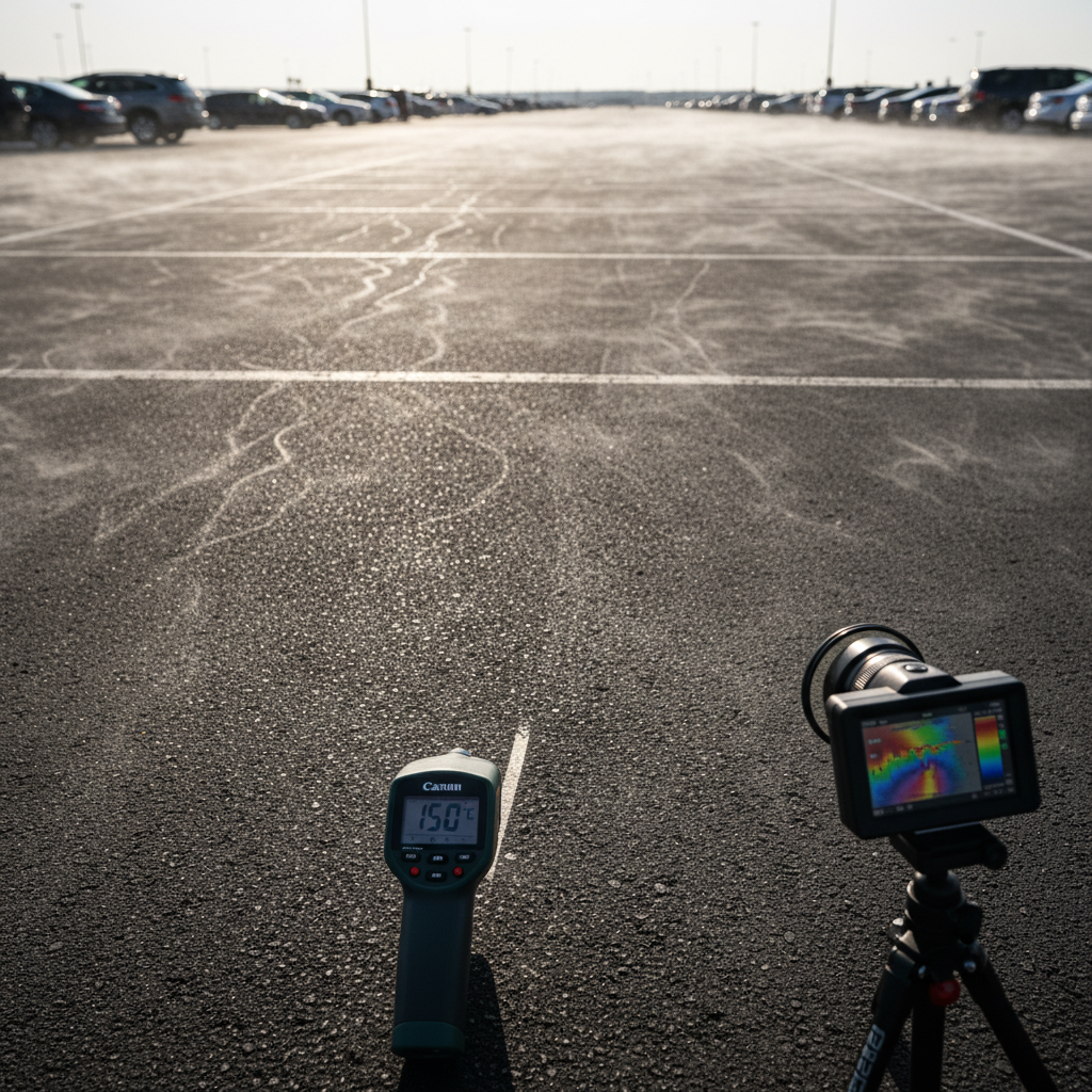
An airport, a logistics hub, a highway interchange: these facilities cover tens, sometimes hundreds, of hectares of impervious surfaces—asphalt, concrete, and gravel. When exposed to direct sunlight, these surfaces absorb and release heat long after sunset, creating local heat islands of particularly high intensity.
For infrastructure managers, this is no longer just a geographical fact. It is a CSR issue, a growing reporting requirement, and a concrete area for action.
A 10-hectare airport parking lot can reach surface temperatures of 55–60°C on a summer day.
Covering an area of 200 hectares, the analysis of satellite imagery provides a comprehensive thermal map that can be updated over time. It provides:
Operators need to demonstrate the actual impact of their restoration projects—not just their intentions. Annual monitoring of thermal and vegetation cover indicators enables the production of auditable impact reports.
Parking lots often present the greatest opportunity for restoration on public lands. Several approaches are possible: tree planting, permeable paving, landscaped swales, and solar canopies with ground vegetation.
Simulation makes it possible to compare these scenarios before construction begins, providing quantified results on temperature reduction, unpaved surface area, carbon sequestration, and improvements in biodiversity.
Lyon Airport — greening of a parking lot: simulation of planting 100 trees → -1.76°C, +17 tCO2, CBSh +0.2.
Nantes Atlantique Airport — parking lot restoration + solar carport shade structures (29 ha): -6.3°C, +784.8 tCO2, +4.4 ha of unpaved area. A project that combines renewable energy production with restoration, delivering demonstrable thermal and carbon benefits.
Infrastructure rights-of-way don’t have to be thermal wastelands. With the right diagnostic and simulation tools, operators can identify opportunities for restoration, quantify their impact, and generate the data needed for their CSR reporting. Heat is measurable. Action is, too.
CTA: ✈️ Do you manage an airport, highway, or rail facility? Get a comprehensive energy audit of your site. [Contact the Netcarbon team →]

.png)