Heat Islands on Airport and Highway Rights-of-Way: Measure to Take Action
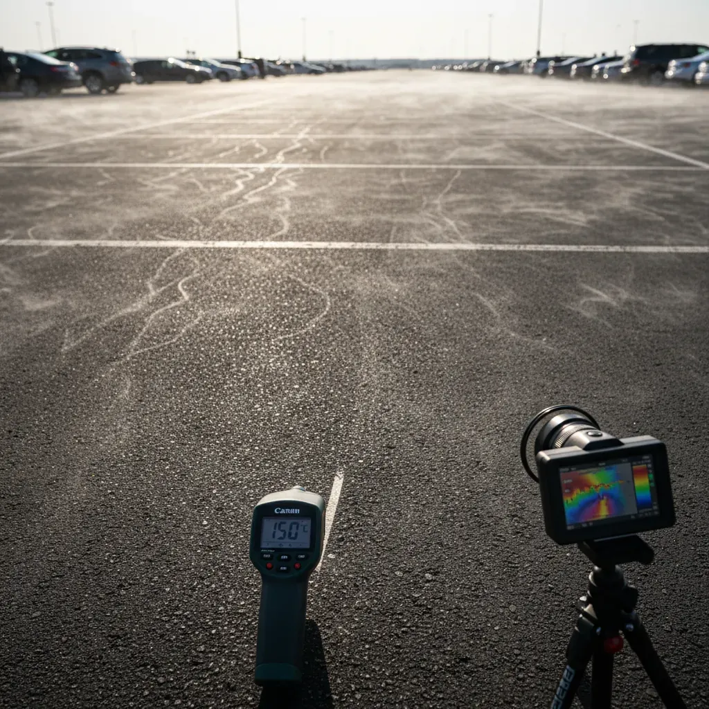
An airport, a logistics hub, a highway interchange: these facilities cover tens, sometimes hundreds, of hectares of impervious surfaces—asphalt, concrete, and gravel. When exposed to direct sunlight, these surfaces absorb and release heat long after sunset, creating local heat islands of particularly high intensity.
Pour les gestionnaires d'infrastructures, ce n'est plus seulement une donnée géographique. C'est un enjeu RSE, une obligation croissante de reporting, et un terrain d'action concret.
Window frames with exceptional thermal performance
Pourquoi les infrastructures de transport surchauffent
- Very low albedo: asphalt absorbs up to 95% of solar radiation
- Virtually no vegetation in traffic and parking areas
- Widespread effects: The density of impervious surfaces creates "heat reservoirs"
- Low humidity: without plant evapotranspiration, there is no natural temperature regulation
A 10-hectare airport parking lot can reach surface temperatures of 55–60°C on a summer day.
An increasingly prominent CSR issue
- CSRD: Reporting on Physical Climate Risks
- Net positive biodiversity: a goal set forth in the National Biodiversity Strategy 2030
- ZAN : les opérateurs d'infrastructures existantes sont aussi concernés
- European Taxonomy: Adaptation to climate change must be demonstrated
Mapping ICUs on a large scale: the challenge of extensive land areas
What imaging analysis makes possible
Covering an area of 200 hectares, the analysis of satellite imagery provides a comprehensive thermal map that can be updated over time. It provides:
- Heat map of the right-of-way
- The correlation between impervious surfaces and temperature
- Opportunities for restoration without operational constraints
Long-term tracking and continuous monitoring
Les opérateurs ont besoin de prouver l'impact réel de leurs projets de renaturation — pas seulement l'intention. Un suivi annuel des indicateurs thermiques et de couverture végétale permet de produire des rapports d'impact auditables.
Simulate Before Restoring: The Case of Green Parking Lots
Parking lots often present the greatest opportunity for restoration on public lands. Several approaches are possible: tree planting, permeable paving, landscaped swales, and solar canopies with ground vegetation.
Simulation makes it possible to compare these scenarios before construction begins, providing quantified results on temperature reduction, unpaved surface area, carbon sequestration, and improvements in biodiversity.
Case studies: Lyon and Nantes airports
Aéroport de Lyon — végétalisation d'un parking : simulation de plantation de 100 arbres → -1,76°C, +17 tCO2, CBSh +0,2.
Nantes Atlantique Airport — parking lot restoration + solar carport shade structures (29 ha): -6.3°C, +784.8 tCO2, +4.4 ha of unpaved area. A project that combines renewable energy production with restoration, delivering demonstrable thermal and carbon benefits.
Conclusion
Infrastructure rights-of-way don’t have to be thermal wastelands. With the right diagnostic and simulation tools, operators can identify opportunities for restoration, quantify their impact, and generate the data needed for their CSR reporting. Heat is measurable. Action is, too.