What is the " UTCI " index?
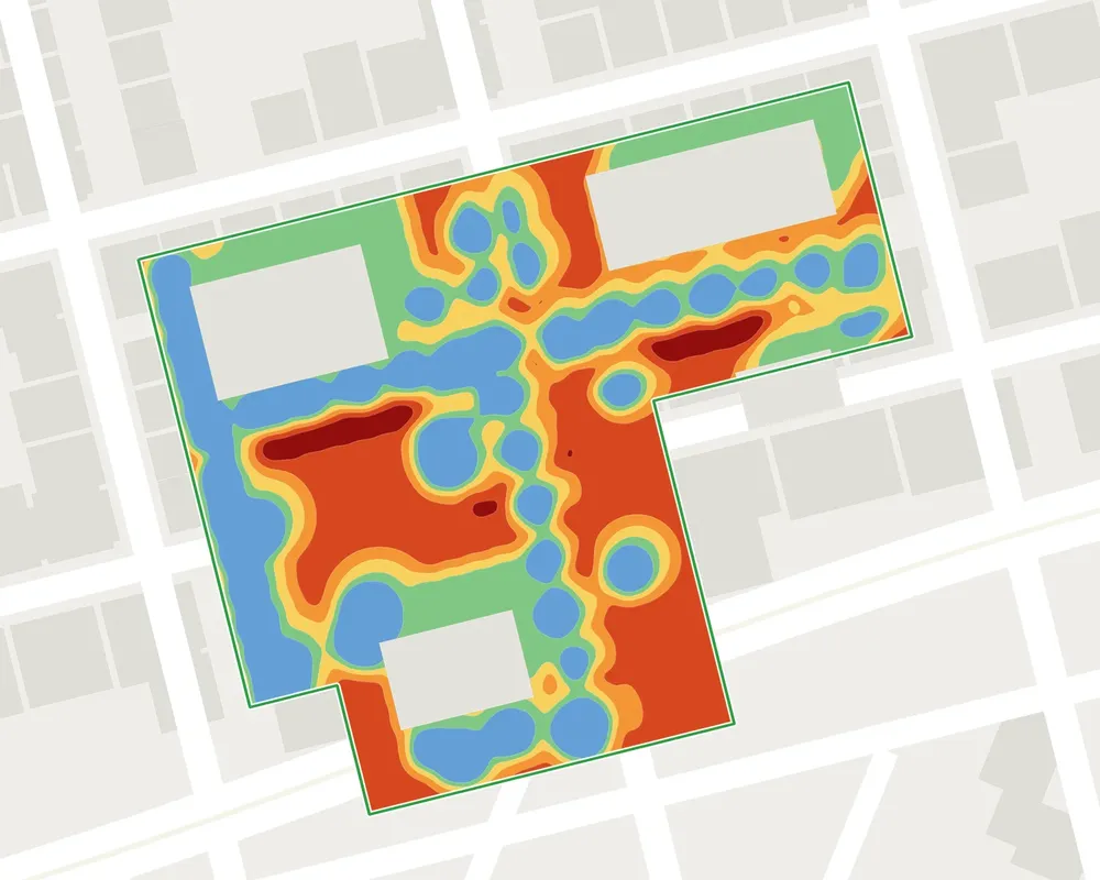
The Universal Thermal Climate Index (UTCI ) is an internationally recognized thermal comfort index. It combines air temperature, humidity, wind, and radiation (from the sun and from surrounding surfaces) to express, in degrees, the level of perceived temperature experienced by a person outdoors. Above 32 °C UTCI, this is referred to as severe heat stress.
What is the difference between surface temperature and perceived temperature ?
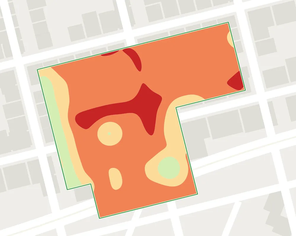
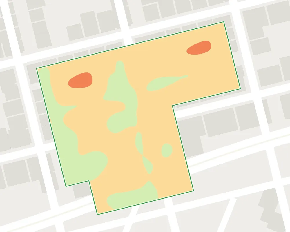
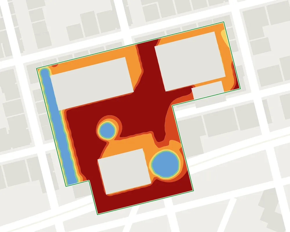
surface temperature e measures the heat of materials—such as floors and wall coverings. perceived temperature measures what the human body perceives, taking into account air, radiation, humidity, and wind. The two complement each other: the former identifies surfaces that accumulate heat, while the latter assesses users’ thermal comfort and identifies pockets of coolness.
How is the CBS ( Biotope Area Factor ) calculated?
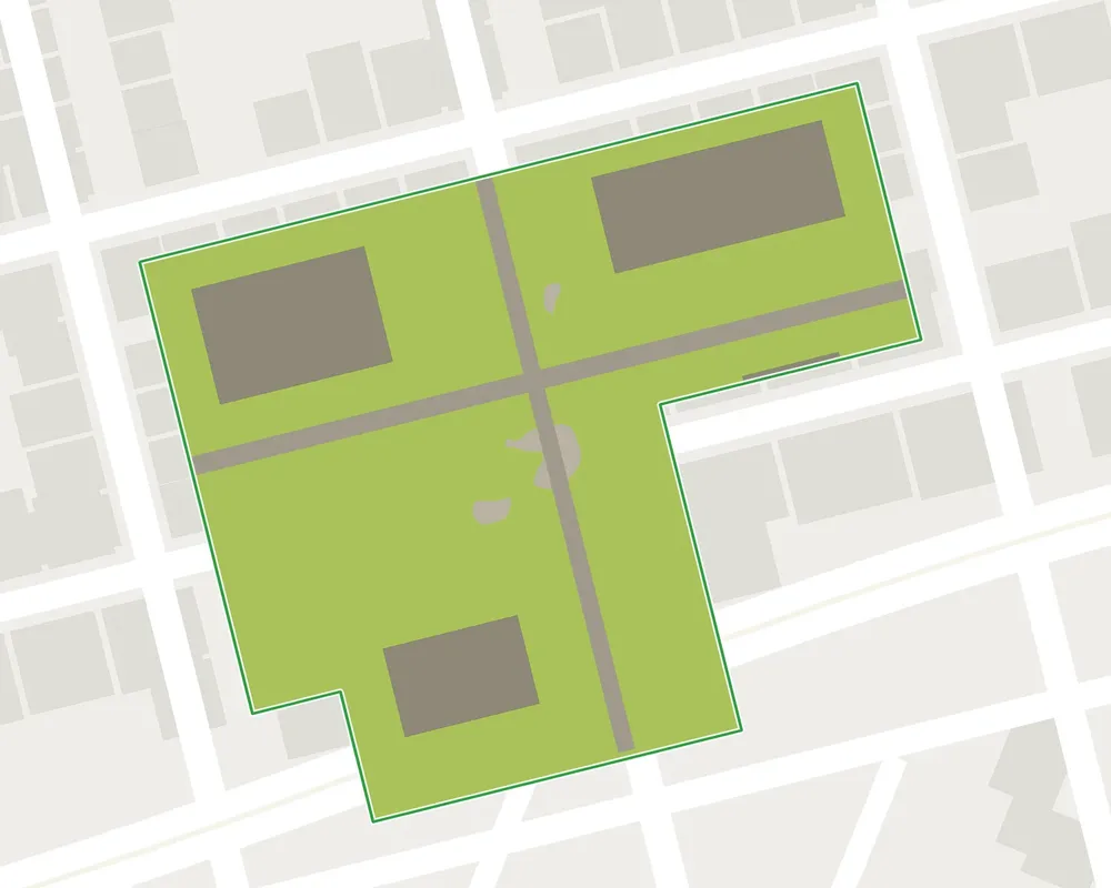
Each type of land cover is multiplied by an ecological value coefficient, ranging from 1 for the “ open ground ” to 0 for an impervious surface. The sum is divided by the total area of the parcel. The coefficients are set by each municipality’s “ local urban plan (PLU) ”; the “ CBSh ” refines this calculation based on the ecological quality of the areas.
How can you track the ZAN trajectory of a project or a region?
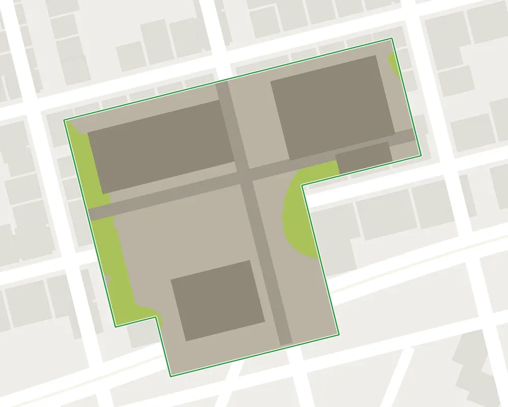
The land-cover change indicator compares the proportion of paved areas before and after the project and quantifies the areas where impervious surfaces have been removed. Using historical data from the “ BD Ortho ” reports dating back to 2018, you can also track changes in your region over time.
Can carbon credits be certified?
Yes. Carbon credits associated with plantations can be valued using the Label Bas Carbone (French low-carbon label) ( Ville arborée method) or included in a carbon balance sheet according to GHG Protocol.
In what formats can the indicators be downloaded?
As a PDF summary, in a spreadsheet, and as GIS layers, directly from the application.

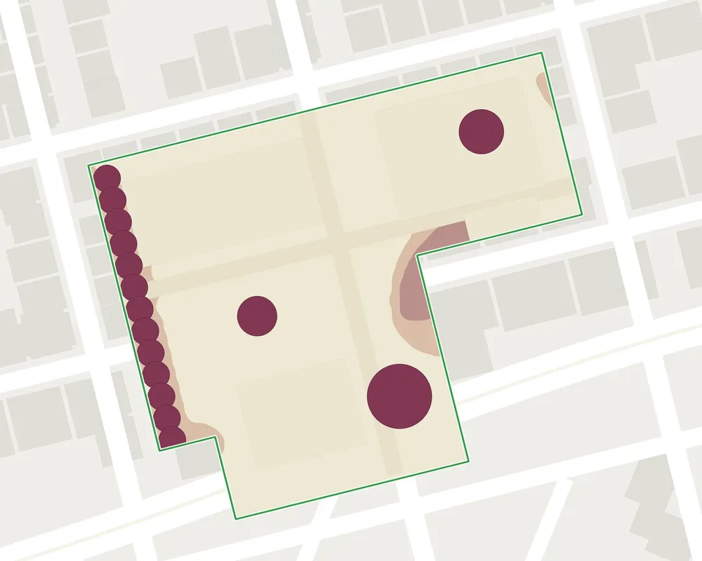
 +398 tCO₂