How to Create a City-Wide " urban cool island ": A Methodological Guide for Local authorities
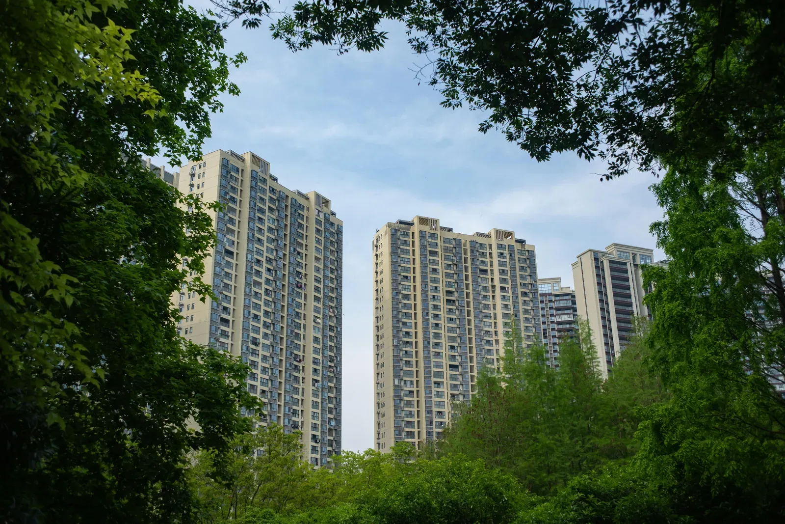
A " urban cool island " is an urban or suburban area that offers cooler temperatures than the rest of the city, thanks to evapotranspiration,shade, high albedo, or the presence of bodies of water. It can be a park, a green plaza, a restored schoolyard, a tree-lined street, or a space with a sufficiently mature tree.
In Île-de-France, more than 3.6 million residents—or 31% of the region’s population—live in areas that are highly vulnerable to heat, including 845,000 people who are vulnerable due to their age. The Region has set a goal of creating 100 accessible urban cooling oases, with funding covering up to 60% of eligible expenses.
The Four Keys to Creating a urban cool island
Greening: The Most Powerful Tool
Planting trees with dense foliage remains the most effective way to cool a space. ADEME notes that a mature tree can provide the same cooling effect as five air conditioners running twenty hours a day. The key is to combine different layers of vegetation (trees, shrubs, groundcover) and ensure adequate watering during the first few years so that the trees can develop their root systems.
Water: A Natural Way to Stay Cool
Waterways dissipate heat through thermal inertia. Projects to restore buried waterways to the surface are on the rise in France: Val-de-Marne has begun the process of bringing the Bièvre back to the surface, and the town of Vitry has restored the Petite Saussaie waterway to the surface. A misting system, activated only during hot periods, complements these measures.
Materials: Choosing the Right Coverings
Light-colored, porous, and permeable pavements reduce heat buildup. In Paris, trials on three streets using innovative road pavements have shown significant reductions in surface temperature . The FNTP also cites the use of asphalt mixtures made from crushed seashells and the greening of tram tracks.
Architecturalshade
Pergolas, shade structures, andshade sails complement landscaping solutions in areas where tree planting is limited by underground utilities, limited space, or unsuitable soil.
Examples of projects completed by Local authorities
Aubervilliers: A Parking Lot Transformed into an Urban Forest
A 2,000 m² paved parking lot was converted into a green space featuring 72 trees, swales, and permeable walkways. Post-development measurements show a decrease in perceived temperature (UTCI) of -2.5 °C on average over a 24-hour period, with peaks of -6 °C around 1:00 p.m.
La Rochelle: 2021–2026 Multi-Year Plan
The city has launched a comprehensive assessment: mapping existing cool spots, identifying heat islands, and creating “cool corridors” that connect these cool areas. The goal: a multi-year plan for greening and depaving.
Figeac: A Resilient Schoolyard
Opened in 2024, this schoolyard—designed in collaboration with the students—features trees, shrubs, and playful green spaces instead of paved surfaces, creating a “ urban cool island ” for the children and the neighborhood.
Île-de-France Region: 49 projects funded for more than 5 million euros
Among the recipients: La Courneuve (€250,000 for two school playgrounds), Cergy (€96,200 for an “oasis” playground), Bry-sur-Marne (€250,000), and Limeil-Brévannes (€28,861 to remove asphalt from two streets).
Lyon: The Redevelopment of Cours Garibaldi
Along an 800-meter stretch, the improvements include trees lining the pedestrian promenade, shaded benches, light-colored concrete paving, and a swale to collect stormwater runoff.
How much should you budget for a " urban cool island "?
A 100- to 120-square-meter plot costs between €8,000 and €80,000, depending on the level of development. Financing rates can reach 65 to 80 percent thanks to the Green Fund, regional grants, and water agencies.
The Île-de-France Region provides funding covering up to 50% of eligible expenses (60% in ICU zones), with a cap of €250,000 for construction work and €30,000 for pre-operational studies.
The return on investment is generally between 3 and 7 years, taking into account public health, the neighborhood's appeal, and the reduction in air-conditioning costs for adjacent public buildings.
How can we identify priority areas?
Three complementary approaches:
- Local Climate Zone (LCZ) classification: identifies the urban areas most sensitive to the ICU, without quantifying this in degrees.
- Numerical modeling (Météo-France, Cerema): quantifies the ICU at the neighborhood scale (resolution of 100 to 250 meters). The Climadiag service allows users to simulate historical heat wave scenarios.
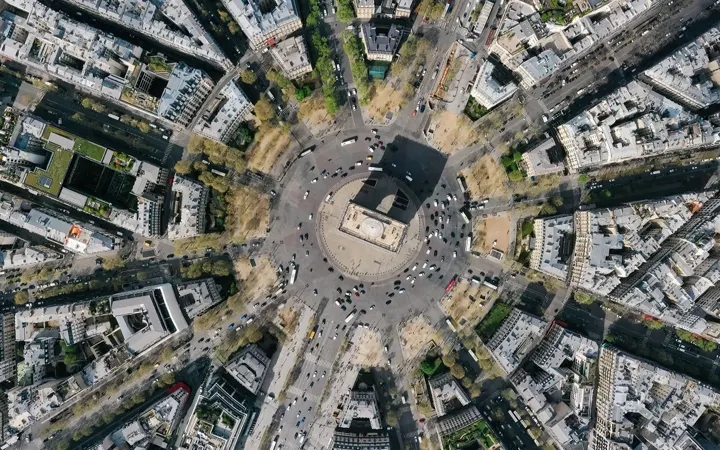
- Analysis using very high-resolution aerial imagery (Netcarbon): combines land cover (CoSIA IGN at 20 cm), perceived temperature (UTCI at 1 meter), carbon stocks, and biodiversity (CBSh) to prioritize interventions on a plot-by-plot basis and simulate the impact of scenarios before implementation.
Netcarbon cartographie le confort thermique à haute résolution et simule l'impact de vos scénarios. Demandez une démonstration.