UTCI : the " thermal comfort " metric that every developer should know
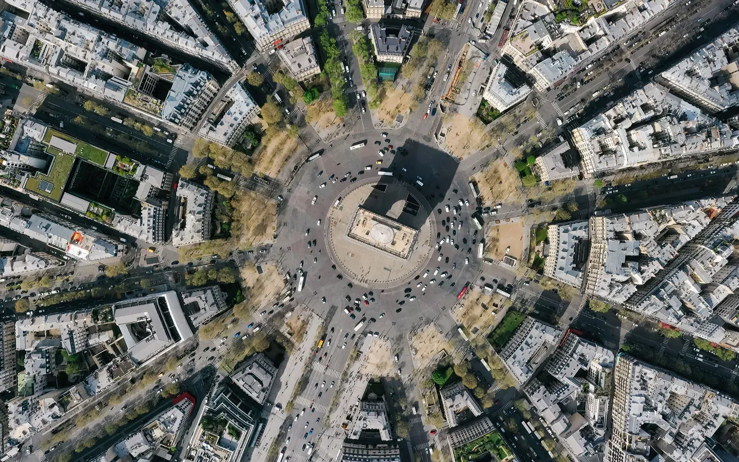
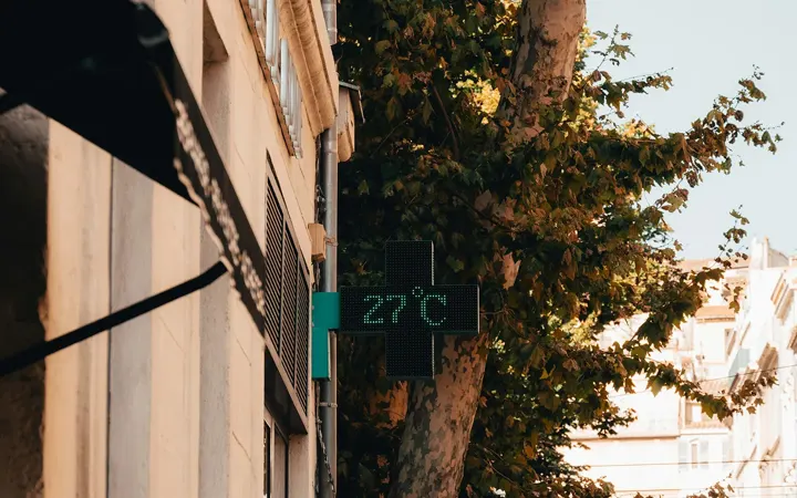
When we talk about heat in the city, our first instinct is to check the thermometer. But 30°C in the shade of a tree-lined park and 30°C in direct sunlight on a paved plaza are not the same for the human body. To overcome this limitation, scientists developed theUTCI —Universal Thermal Climate Index —which is now the benchmark indicator for outdoor heat stress.
Why Air Temperature Alone Isn't Enough
Air temperature (measured in the shade, 2 meters above the ground) is the most common weather indicator. However, it accounts for only part of the human thermal experience. In urban areas, three other factors significantly influence how hot or cold it feels:
- Solar radiation and hot surfaces: asphalt, building facades, and roofs absorb solar radiation and re-emit it. The average radiant temperature (Tmrt) can exceed the air temperature by 10 to 20°C.
- Wind: Even a light breeze helps sweat evaporate and reduces the sensation of heat.
- Relative humidity: The more humid the air is, the less effectively sweat cools the body.
TheUTCI incorporates these four variables to produce an equivalent temperature that reflects the actual thermophysiological responses of the human body.
How is the "UTCI " calculated?
UTCI e is defined as the air temperature that, under standardized reference conditions (wind speed of 0.5 m/s, relative humidity of 50%, no direct radiation), would elicit the same physiological response as the actual observed conditions.
The " Netcarbon " Method: Modeling the "UTCI " at the Project Level
Calculating theUTCI at the neighborhood level requires accurate data and robust physical models. This is at the heart of the methodology developed by Netcarbon.
Input data
- ERA5 climate data: Copernicus reanalysis data, available hourly for the entire country.
- land cover 's maps: produced using 20-cm-resolution orthophotographic images and the IGN's COSIA model.
- The Digital Elevation Model (DEM): Netcarbon combines the Digital Surface Model (DSM) and the Digital Terrain Model (DTM) to reconstruct above-ground features in 3D.
- The IGN Topo comic: to determine the precise location and height of buildings.
Physical models: U-Rock and SOLWEIG
U-Rock simulates wind flow in urban environments in 3D, taking into account the blocking effect of buildings and the Venturi effect in narrow streets. SOLWEIG calculates radiative fluxes and produces the mean radiant temperature (Tmrt), a key variable in the calculation UTCI.
UTCI Day vs. Night: Two Distinct Phenomena
During the day, direct solar radiation dominates. Areas in full sun, with low-albedo materials and no vegetation, reach very high UTCI . At night, materials with high thermal inertia slowly release the heat they have stored. Vegetation plays an essential role in regulating temperature here.
How the "UTCI " Affects Development Projects
Working with theUTCI profoundly changes the way projects are evaluated. A developer who plants trees can now precisely quantify the resulting reduction inUTCI, meter by meter, hour by hour. It’s the difference between stating, “This project improves thermal comfort ,” and demonstrating, “This project reduces thermal stress by -8°C UTCI over 2 hectares during peak hours on a heatwave day.”