Heat islands: How developers are addressing thermal considerations in their development projects
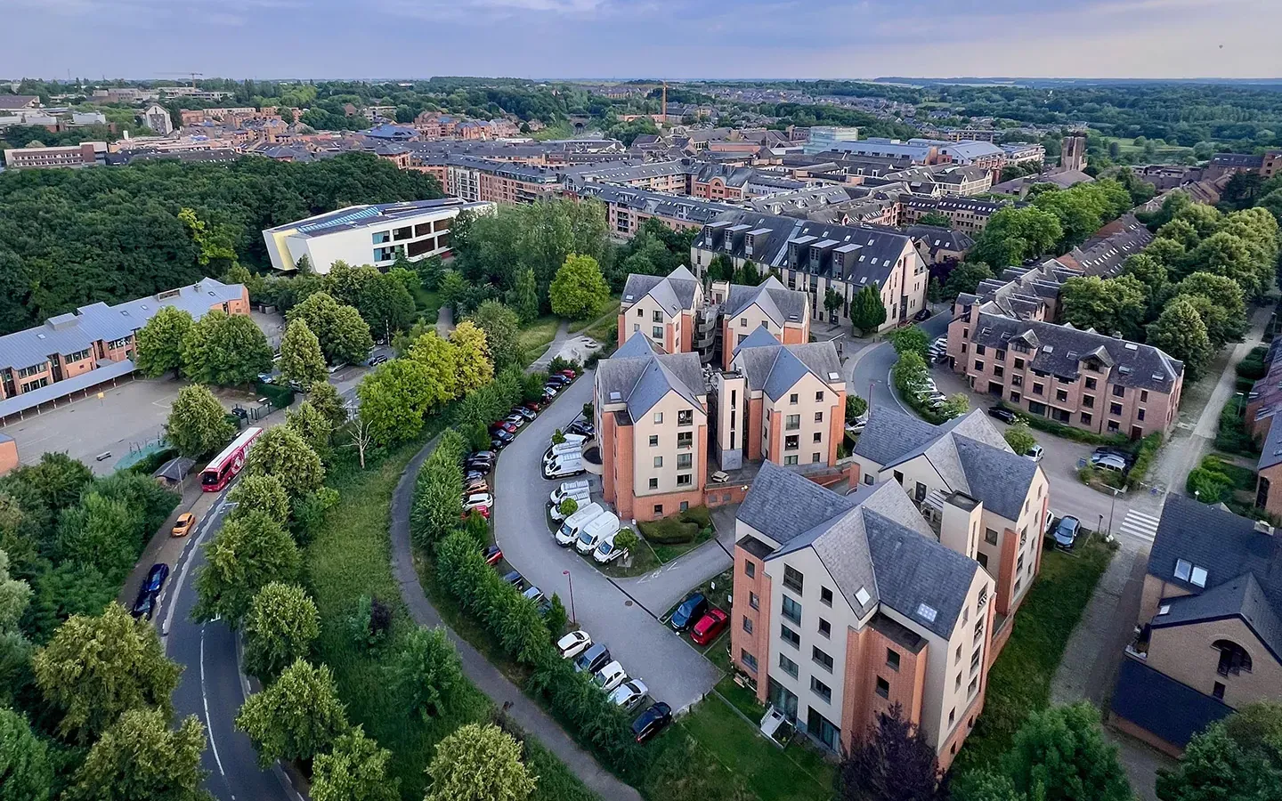
Pourquoi les ICU entrent dans l'équation des projets immobiliers ?
Regulatory pressure is mounting
Several regulatory frameworks are converging toward a requirement to incorporate green infrastructure into urban projects:
- RE2020: sets standards not only for energy performance but also for summer comfort, using the Dh indicator (degrees-hours of discomfort). Projects that cause outdoor spaces to overheat are penalized.
- European Taxonomy: The objective of adapting to climate change requires that funded projects contribute to climate resilience.
- ZAN: requires limiting impervious surfaces, the primary factor contributing to urban heat islands.
Green value becomes thermal value
Recent studies show that homes located near high-quality green spaces command a 5% to 15% premium over comparable properties in urban areas. Developers who can quantify the cooling effect of their projects stand out from the competition.
How can we measure the thermal impact of a development project?
The Initial Assessment: Assessing the Site Before Designing
Even before drawing up the site plan, it is possible to determine the thermal profile of the lot:
- Which areas are most prone to overheating?
- What percentage of the area is paved?
- What effect does existing vegetation have on surface temperatures?
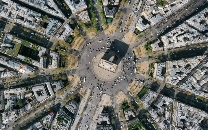
This data, derived from the analysis of high-resolution aerial imagery, helps guide the design process: the layout of green spaces, the choice of paving materials, and the location of shaded areas.
Simulation: Testing Scenarios Before Building
Once the project has been outlined, thermal simulation allows for the comparison of several design options. Each scenario generates quantifiable results: reduction in surface temperature, unpaved surface area, biodiversity (CBSh), and carbon sequestration. These indicators can be directly integrated into the RAO’s technical database.
Case Study: A Housing and Nature Reserve Project
In a mixed-use housing and nature park project developed with Netcarbon, the inclusion of 691 trees and 1,151 shrubs made it possible to simulate the effects over a 25-year period:
- -5.4°C from surface temperature
- CBSh +0.4
- +52 tCO2 stored
These figures were included in the developer’s bid, serving as a key differentiator compared to competitors who merely described their plans for landscaping without providing specific figures.
ICU and green value: what buyers will be looking for in the future
The real estate market is gradually incorporating thermal data into its valuation criteria. Notaries are beginning to document the impact of summer heat on transaction prices. Insurers are adjusting their premiums based on exposure to climate risks.
In this context, a developer who can produce a thermal impact report for their project has a tangible selling point and a risk management tool.
Conclusion
L'ère du "on a mis des arbres" est terminée. Les collectivités cédantes, les investisseurs institutionnels et les acquéreurs finaux attendent désormais des preuves : combien de degrés de rafraîchissement ? Quelle surface végétalisée ? Quel impact carbone ? Les promoteurs qui auront intégré ces outils de mesure et de simulation dans leur process de conception seront ceux qui remporteront les appels d'offres de demain.