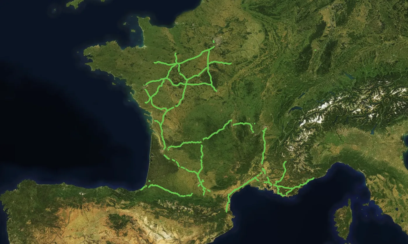
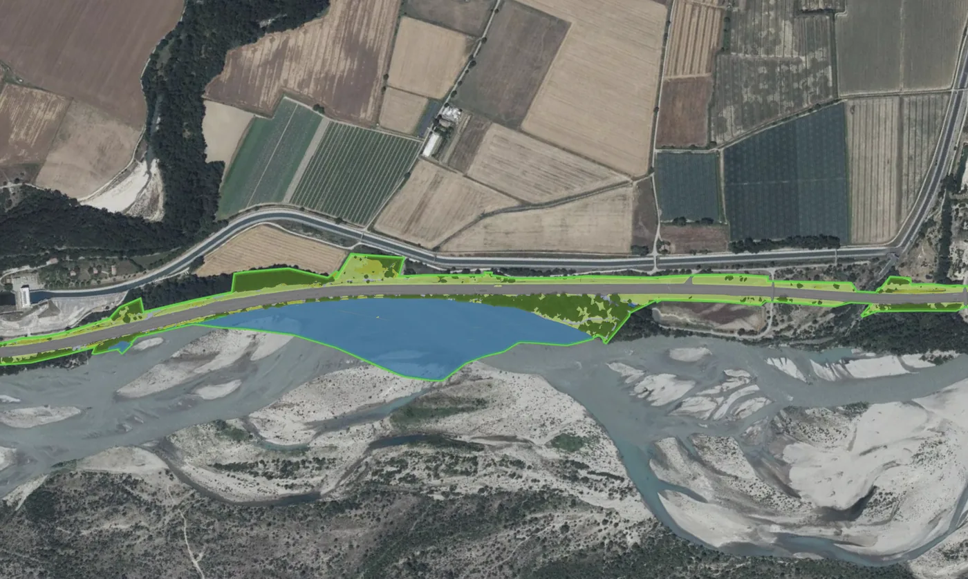
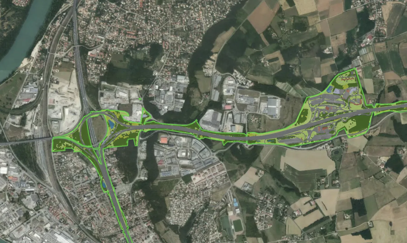
Netcarbon a réalisé le diagnostic environnemental de l'ensemble du foncier détenu par Vinci Autoroutes en France : emprises autoroutières, aires de repos et de service, gares de péage, délaissés et parcelles annexes. À partir de données aériennes et d'intelligence artificielle, deux indicateurs ont été modélisés sur les 44 745 hectares du périmètre et déclinés sur les 27 districts d'exploitation : l'occupation des sols et le stock de carbone.


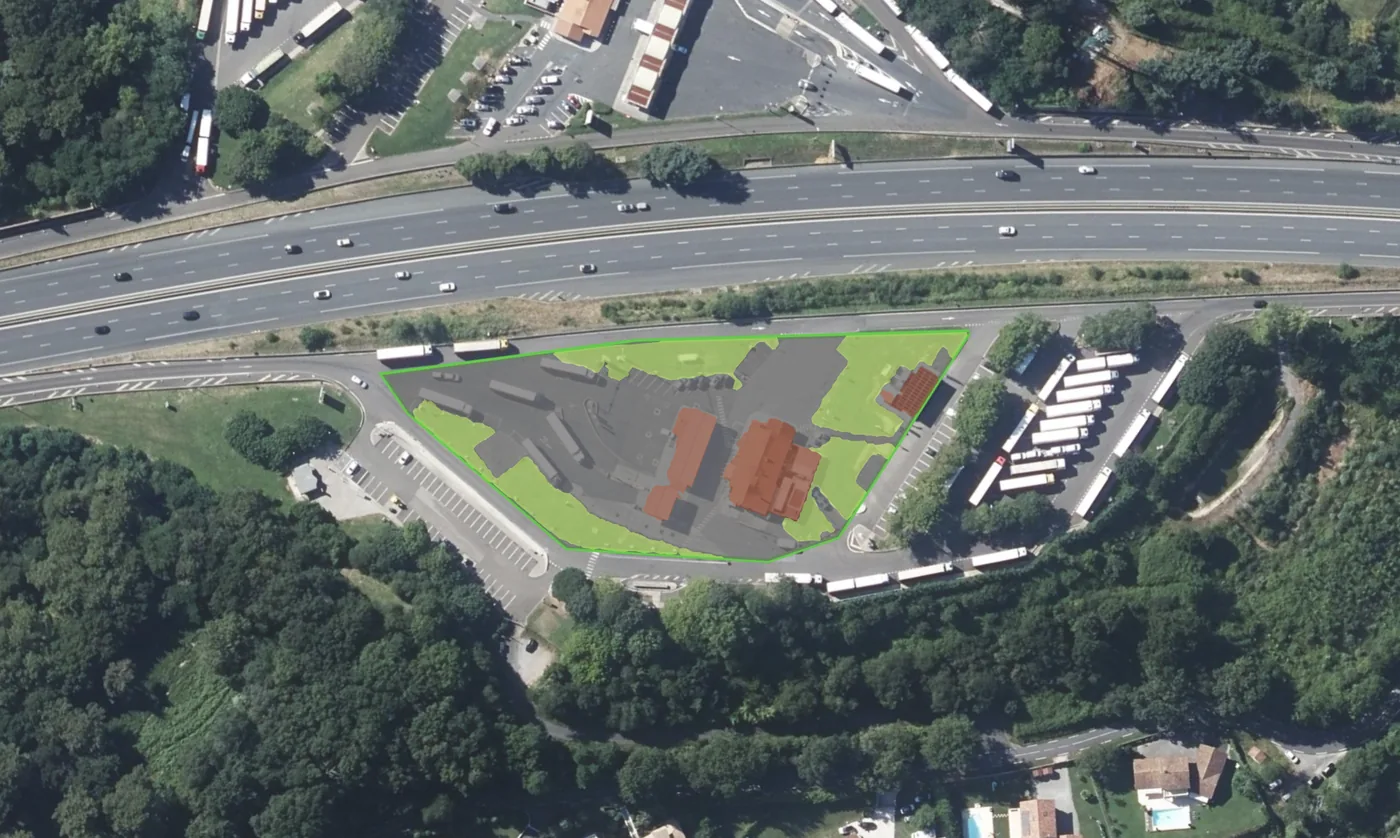
 Infrastructure operators+784.8 metric tonsof CO₂Carbon stock
 Infrastructure operators+482tCO₂Carbon stock
 Developers & builders−6.39 °Csurface temperature