In a context where urban planning is subject to increasing environmental pressure, it is important to consider the strategic role of nature in the city.
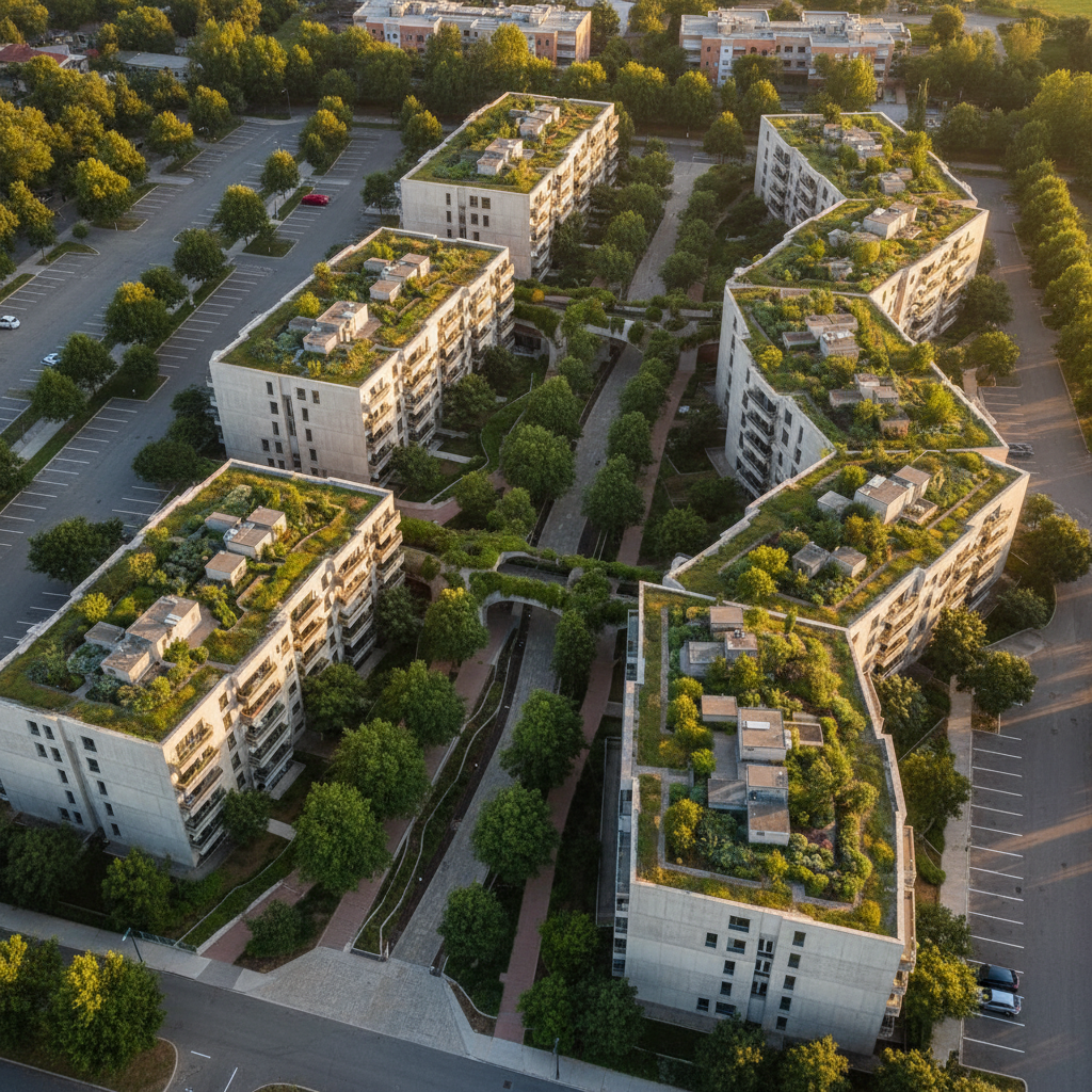
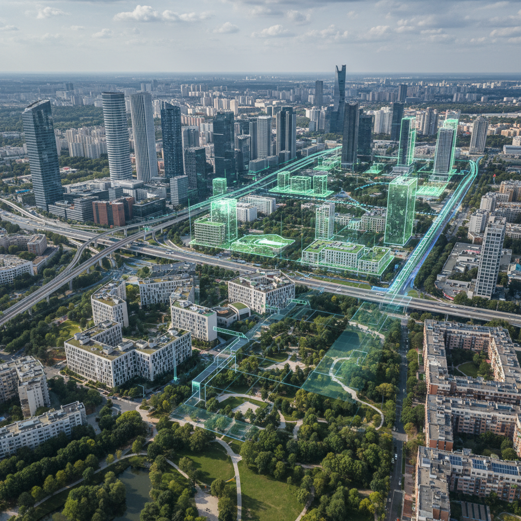
Green grids symbolize these issues and are now considered environmental infrastructures in their own right.
They provide tangible benefits at several levels: supporting biodiversity, adapting to climate change, enhancing land value, improving quality of life... However, they are still too often underestimated or added at the end of the chain, as a landscape constraint rather than a strategic lever.
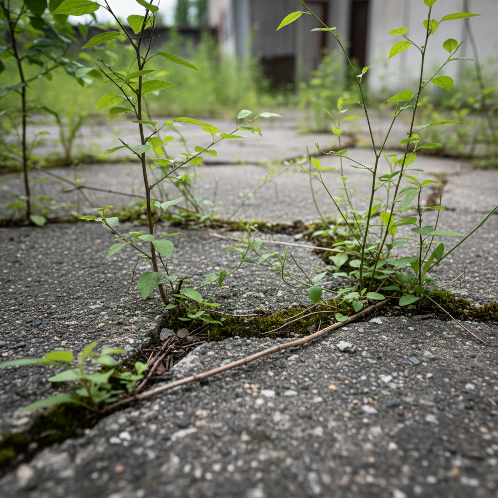
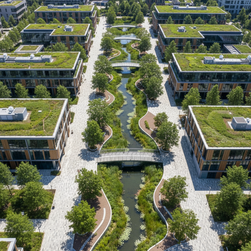
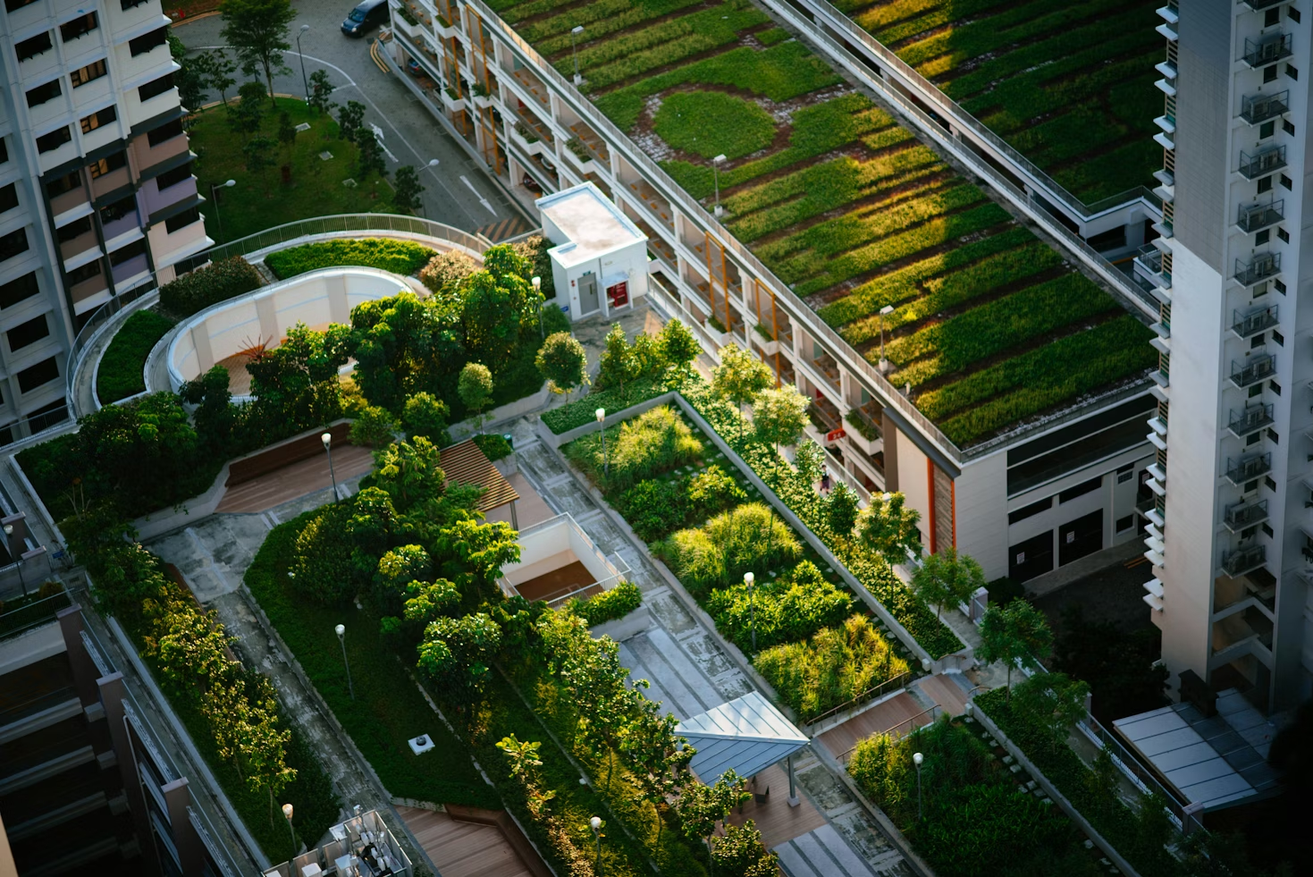
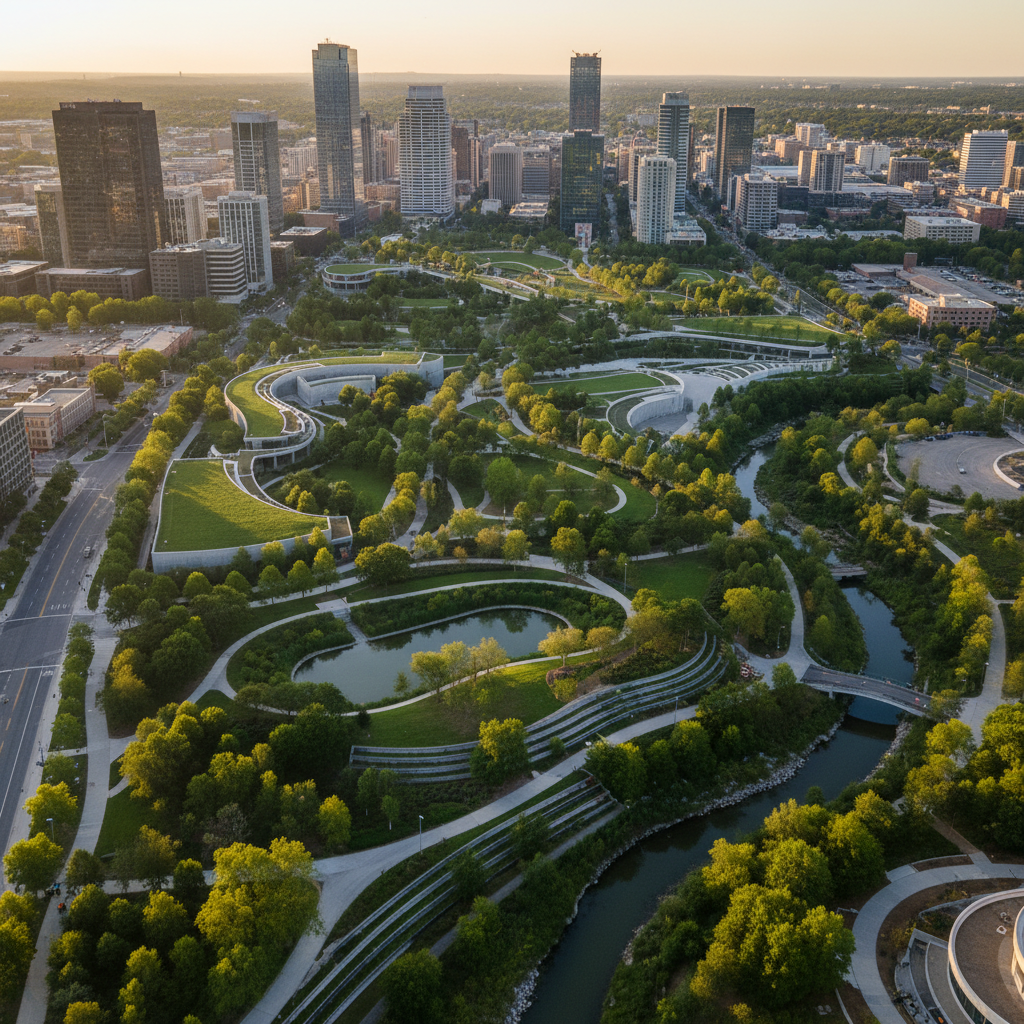
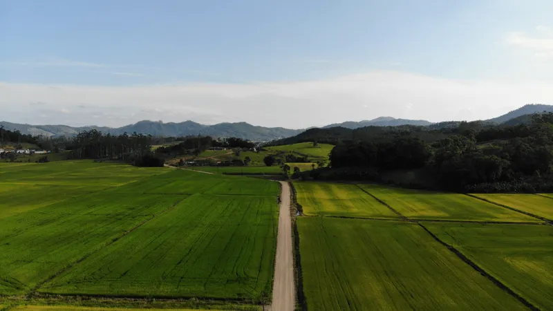
The term "green frame" is sometimes used generically to refer to any vegetated area. In reality, its definition is much more precise: it's a continuous network of natural or semi-natural spaces, designed to connect living habitats and allow the circulation of species, whether animal or plant.
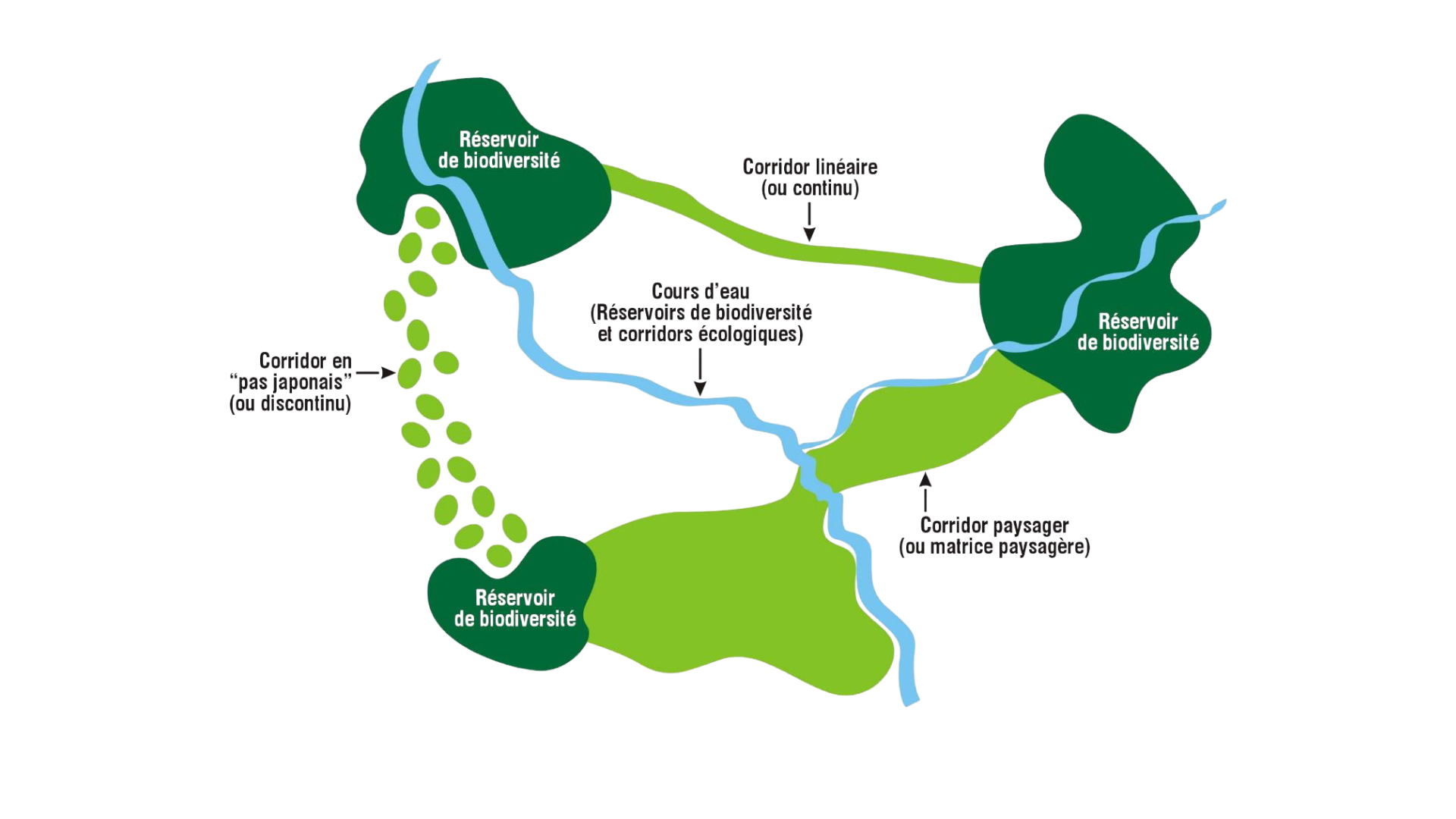
The green framework is part of the wider framework of green and blue frameworks (TVB), defined at national level by the Grenelle de l'Environnement, then implemented in local urban planning documents (SRADDET, SCOT, PLU, etc.).
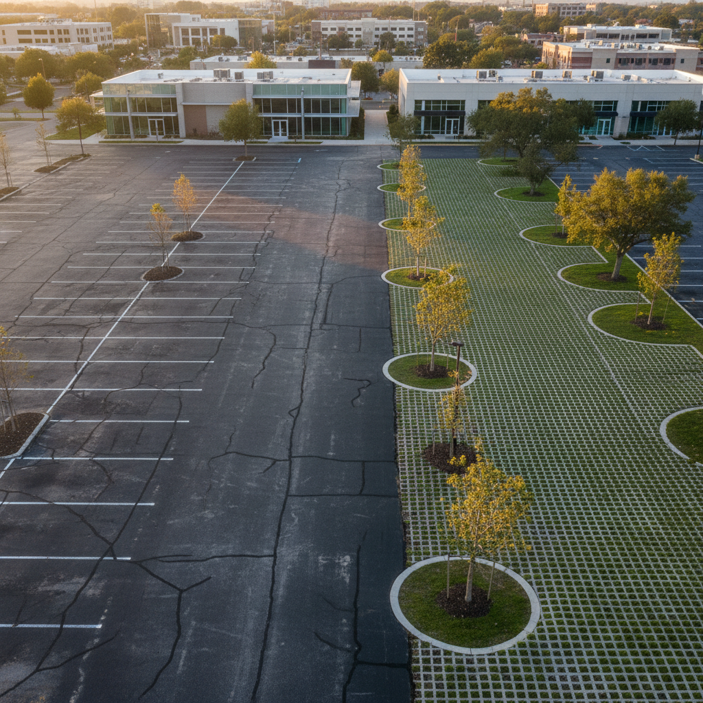
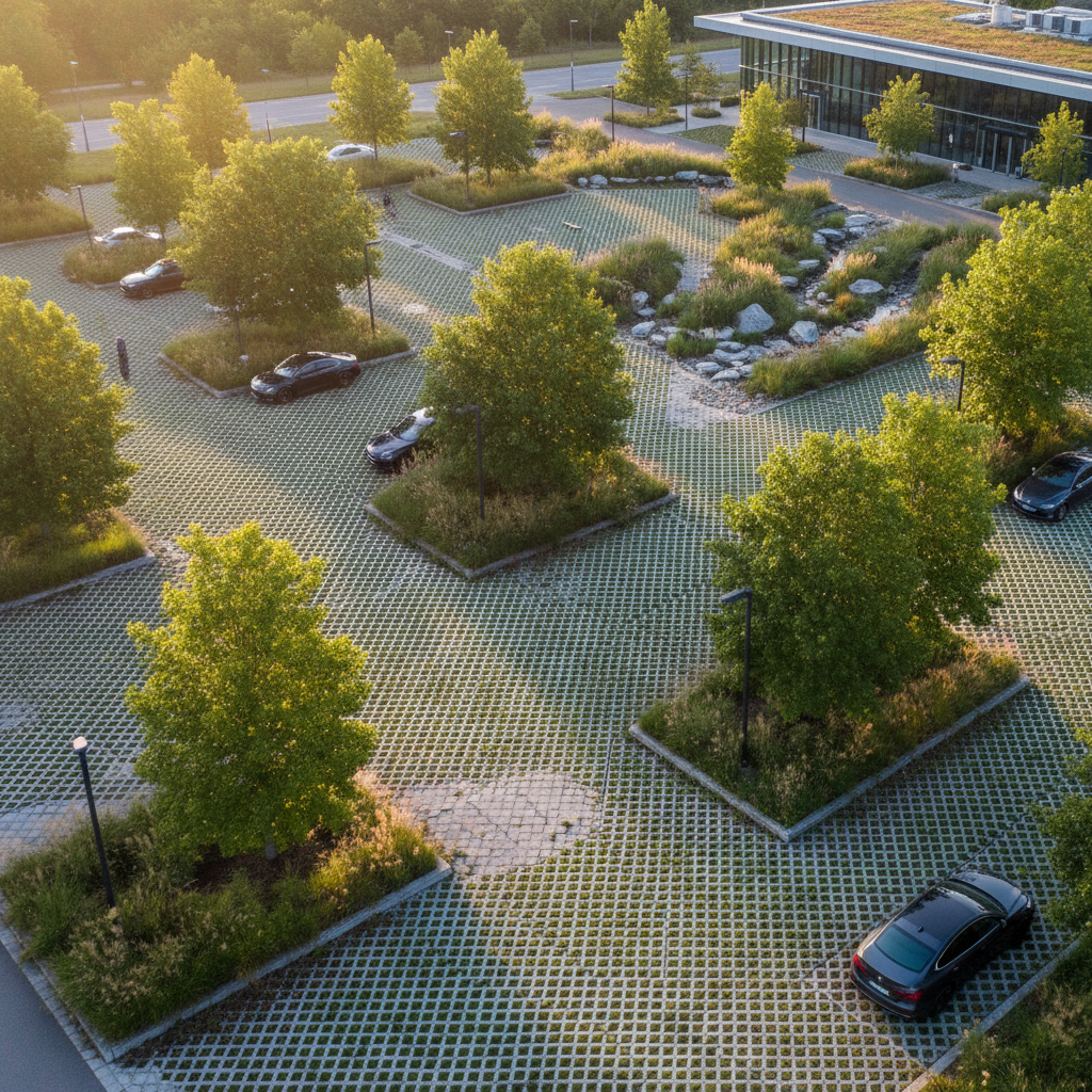
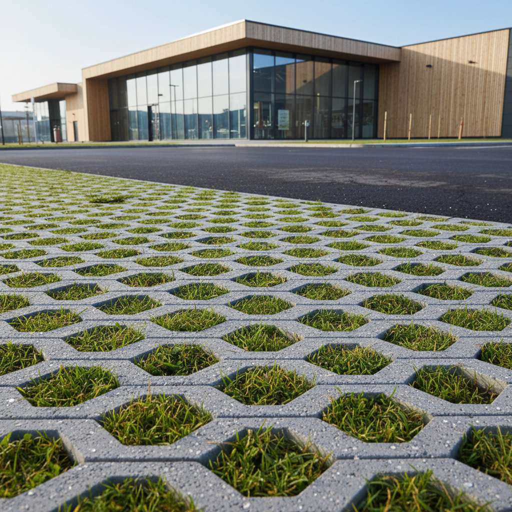
In concrete terms, a green grid can take several forms:
What's important is not so much the vegetated aspect as the ecological coherence: a green grid is functional if it enables the continuity of natural environments, the mobility of species and the interconnection of habitats.
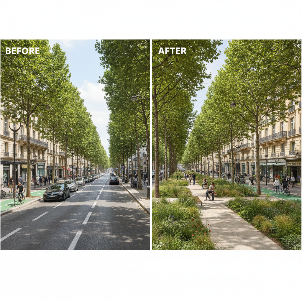
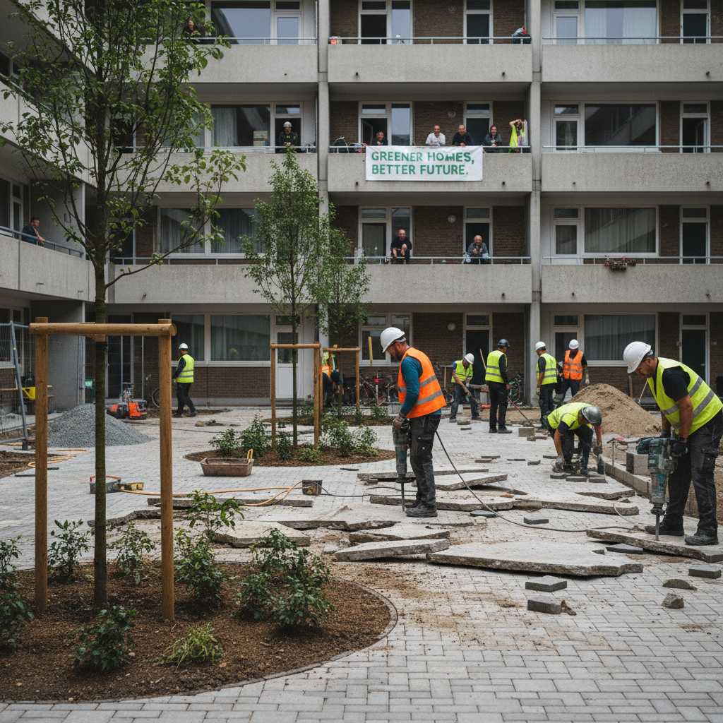
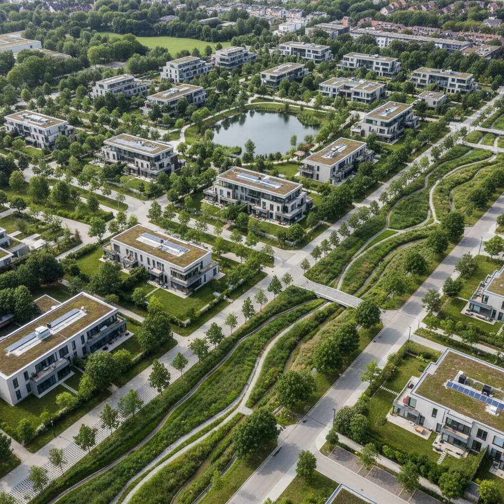
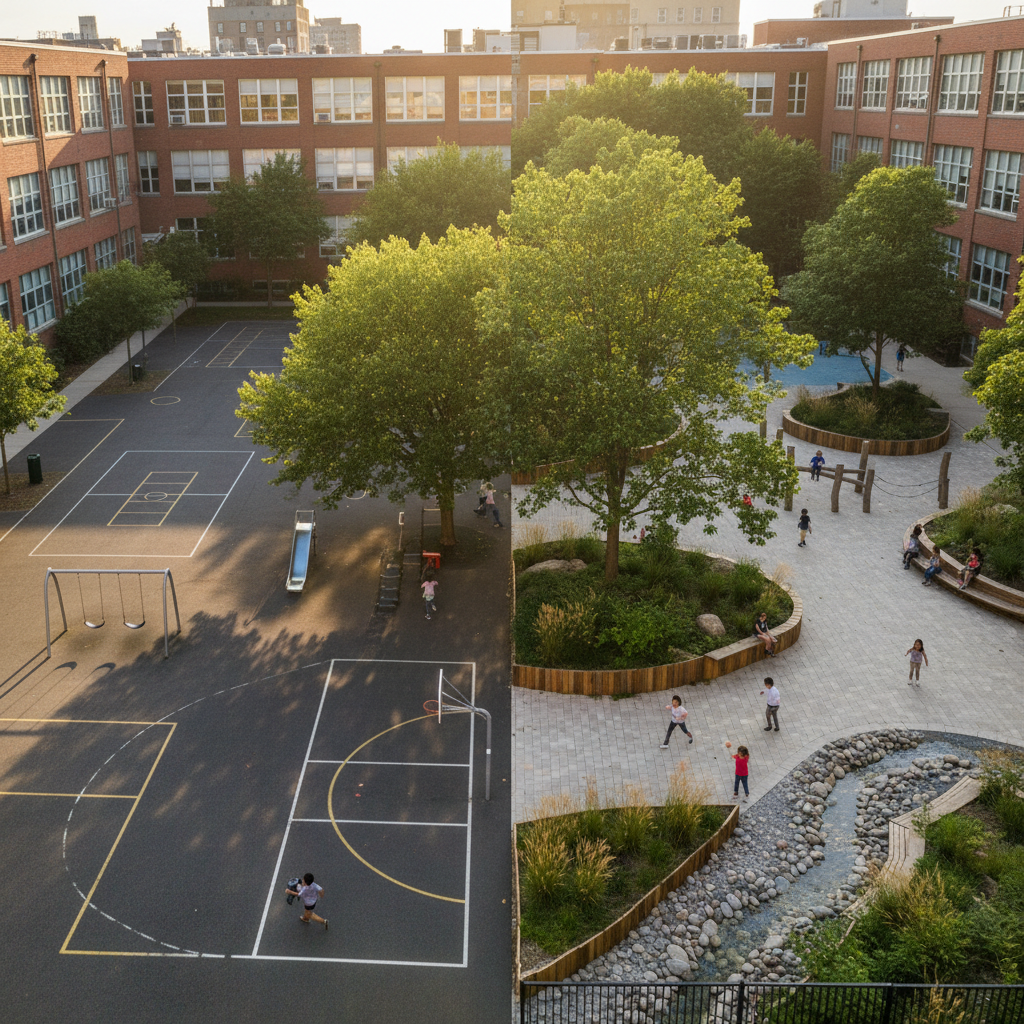
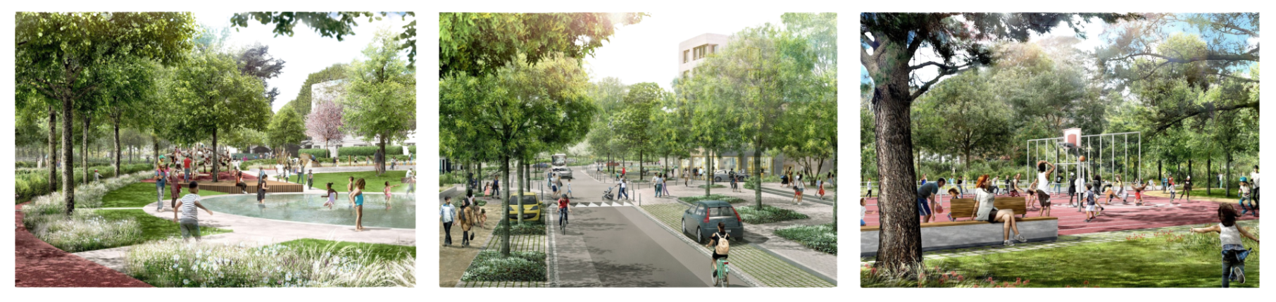
For example, to the east of Nantes, the Bottière-Pin Sec district is benefiting from a far-reaching urban transformation incorporating a 2 km planted network. Supported by the city and the Métropole, this project aims to remove water from the soil, create shadier public spaces and plant more than 1,000 trees by 2026. The heart of the district, the streets and squares (Grande Noue, Grande Garenne, Augustin Fresnel) are being redesigned to promote freshness, conviviality and greater resilience in the face of climate change.
In short, a green grid is a living infrastructure. It links landscapes and connects uses, while supporting the resilience of territories.

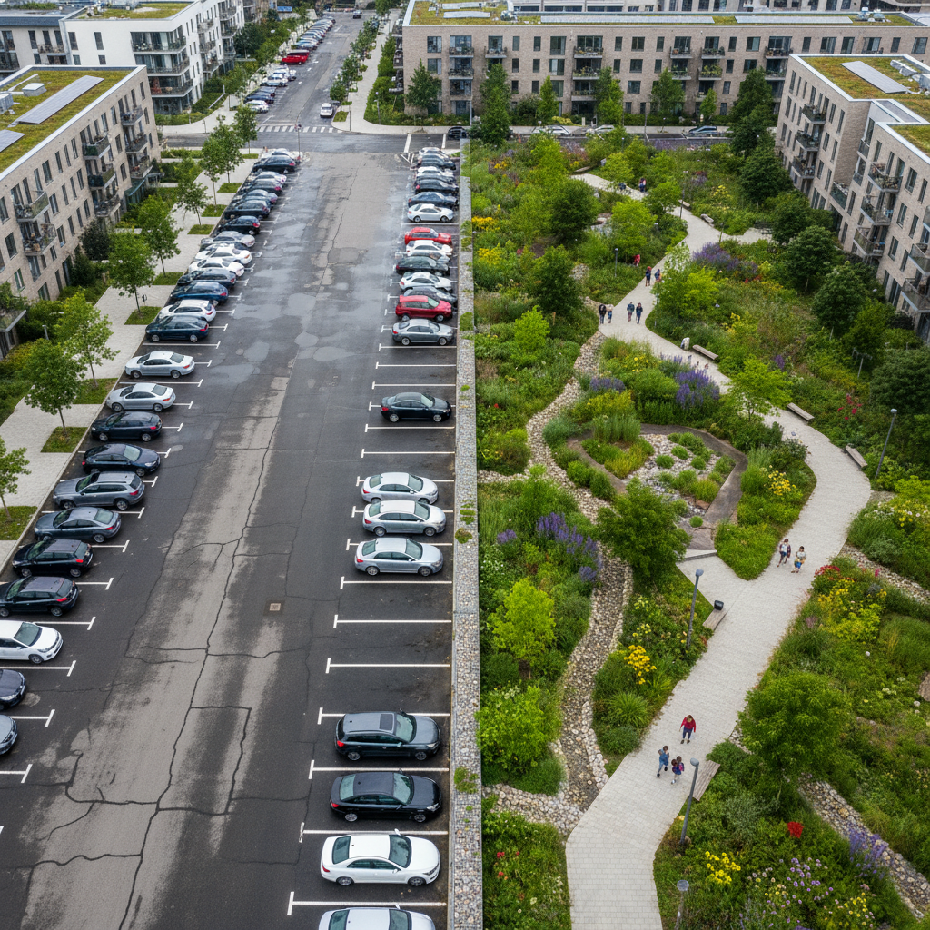
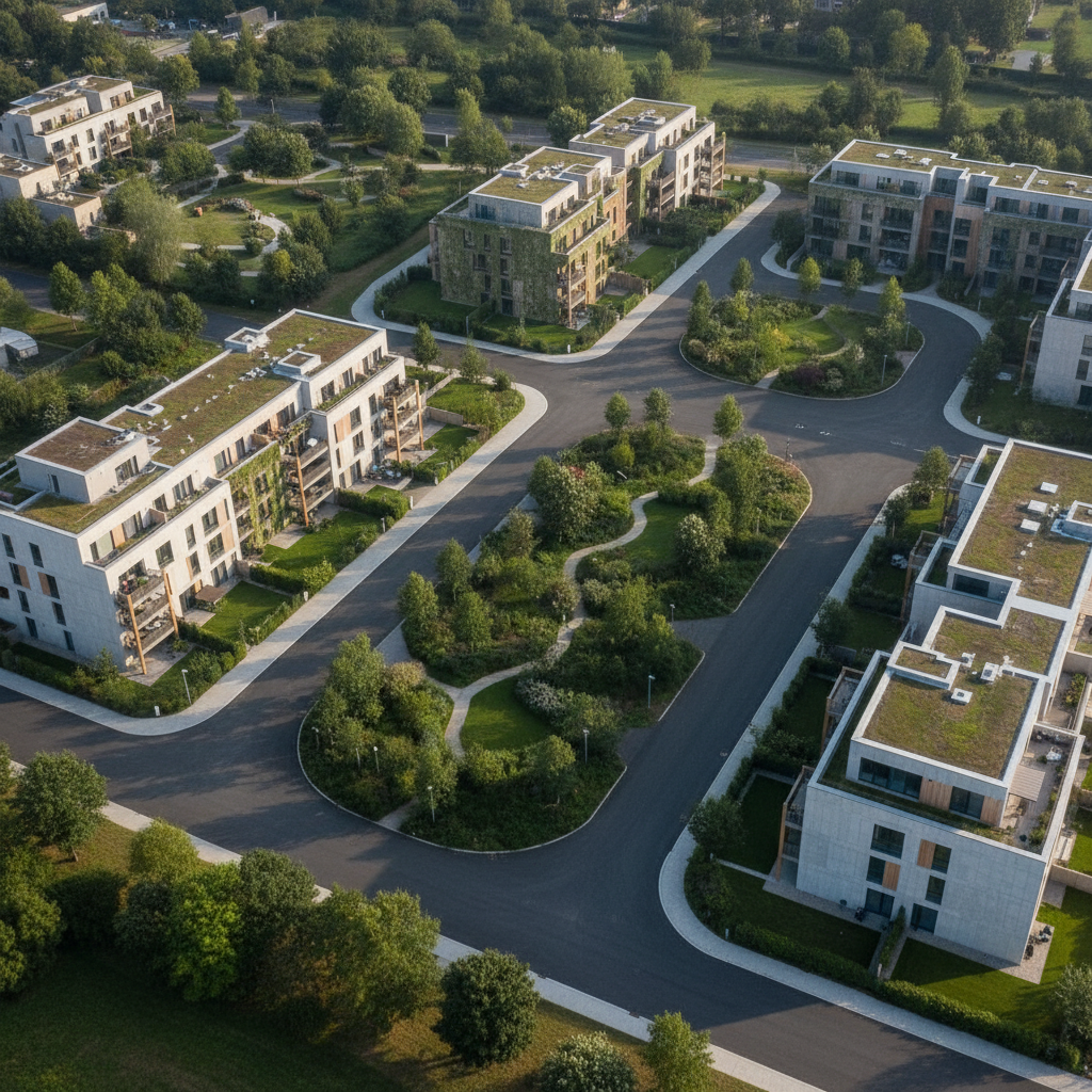
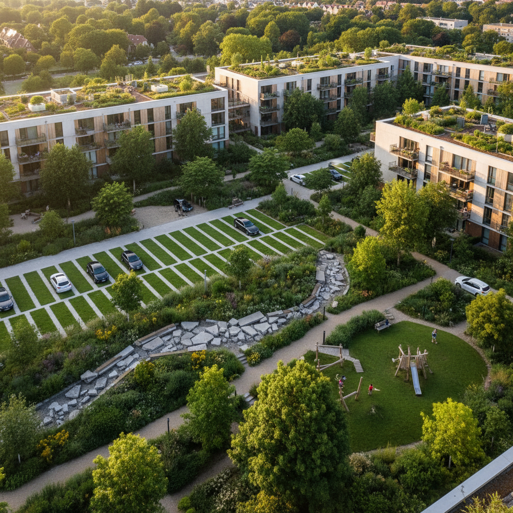
Integrating a coherent green grid into a development project goes beyond the simple ecological dimension: it's a real economic lever. Several studies show that the proximity of well-designed green spaces can increase property values by 5-15%. This is due to a number of factors: a more pleasant living environment, better management of summer temperatures thanks to natural shade, cleaner air, and the opportunity for residents to walk or cycle in a safe, connected environment.
Neighborhoods with functional green corridors are more attractive to residents and investors alike, resulting in faster marketing of lots and higher property values.
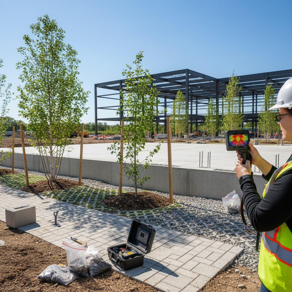
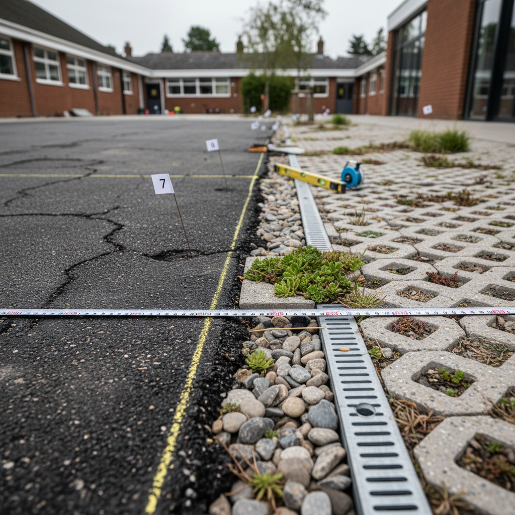
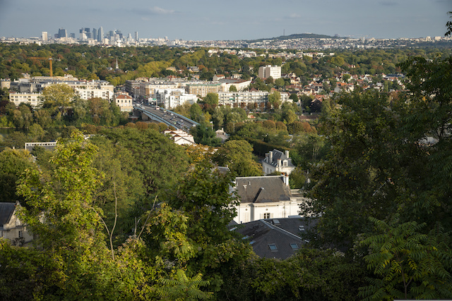
Green screens play a major role in adapting to climate change, especially in urban areas where heat islands, flooding and air pollution are particularly prevalent. By promoting air circulation, providing shade and improving water infiltration, they significantly reduce these harmful effects.
These natural functions reduce the need for heavy, costly infrastructure such as air-conditioning systems or rainwater retention basins. In certain urban projects, for example, the thoughtful integration of ecological corridors can reduce public and private spending on climate management, while increasing the overall resilience of the area.
In addition to their direct impact on land use and the climate, green corridors are a strategic asset when it comes to accessing public and private funding. They are promoted in calls for projects linked to sustainable development, making it possible to obtain subsidies from ADEME, European funds or regulatory bonuses in urban planning documents.
In addition, the presence of a well-designed green grid makes it easier to obtain recognized environmental labels, such as Bas Carbone, BREEAM or BiodiverCity, which enhance the ecological performance of the project. These labels are often eligible for tax benefits and enhance commercial appeal.
But the integration of green grids goes beyond a purely incentive-based approach: they have also become a structuring vector in urban planning. In many areas, their inclusion in local urban plans (PLU) or territorial coherence schemes (SCoT) enables ecological resilience objectives to be translated into regulatory documents. This takes the form of a"green background" in urban planning maps, designating areas to be ecologically preserved, renaturalized or enhanced.
This green fund becomes an essential arbitration tool between urban development and the protection of ecological continuity. It makes it possible to avoid disrupting corridors, control urban sprawl and steer development projects towards more compact, greener and more sober forms. In this way, it also serves the objectives of combating heat islands, managing rainwater and improving the quality of life.
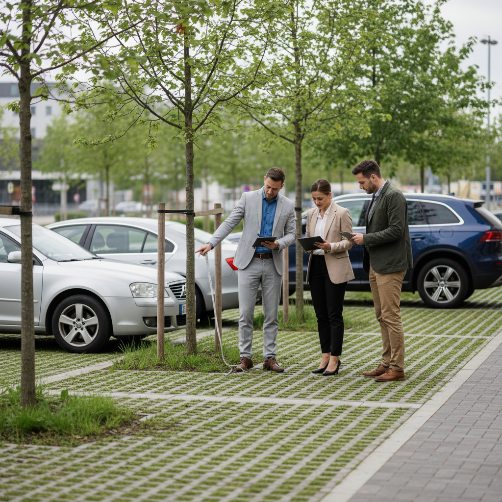
Finally, beyond the regulatory framework, green corridors offer a lever for dialogue with citizens and local stakeholders. They crystallize growing expectations in terms of urban nature, environmental health and landscape quality. Their co-construction with residents, farmers or local associations strengthens the acceptability of projects and anchors development in a more sustainable, shared and living vision of the territory.
Thinking in terms of the green grid is not simply a matter of "making things pretty with green". On the contrary, it means designing a more robust, breathable and attractive territory. It means opting for a form of urban planning that harmoniously combines nature and development, rather than pitting them against each other.
In this way, the green grid becomes a genuine strategic infrastructure. At Netcarbon, our mission is to support project developers by putting data at the service of life. We help to identify, strengthen and enhance green webs, in a way that is measurable, sustainable and effective.
It's time to consider the green grid as the first natural infrastructure in your development and renaturation projects.
Sources
Check the eligibility of my project